


Annapurna Community Lodge Trek
Day 1: The starting point of the Trek is the little village of Naya Phul (1.5 h by car from Pokhara). After having passed through the village, we soon have to walk uphill on a dusty path (autumn/winter). Later, we climb up (a sometimes endless seeming number of) stone steps to the village of Ulleri (just above 2000 m), where we spend the first night.
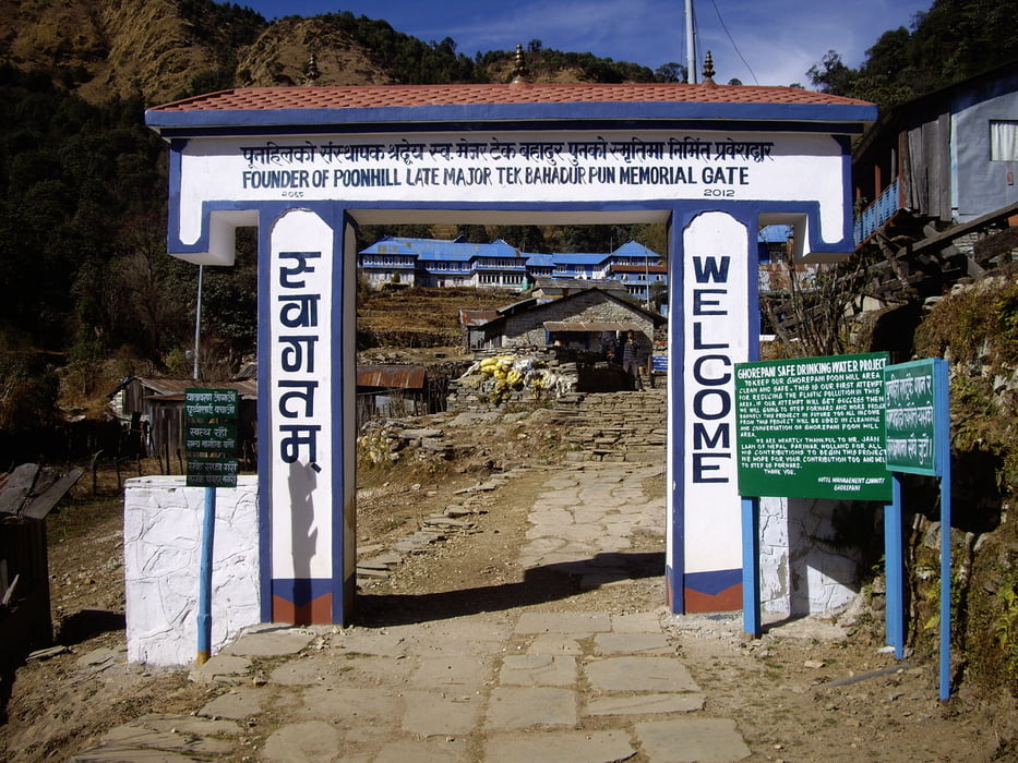
Day 2: We climb through a Rhododendron forrest with occasional small waterfalls until we reach the village of Ghorepani which is situated on a saddle point next to Poonhill. Ghorepani is a nice place for a lunch rest due to the marvellous view it offers. From Ghorepani we descend and leave the beaten track. After having crossed the river in the valley by means of a hanging bridge we climb up 200 m in order to reach the Swanta Lodge at an altitude of 2200 m.
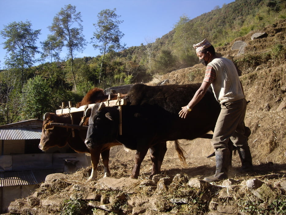
Day 3: Swanta is the last little village we'll see for some days. Also, the Swanta lodge is the last one to offer a hot shower for the next couple of days. The next (comfortable) shower possibility is available in one of the many lodges in the village of Ghandruk (see day 6). From Swanta, we ascend at first through a thick Rhododendron forrest which is later gradually replaced by less dense vegetation with only occasional trees. On the way to the lodge at Upper Christibung (3000 m) you might also see some yaks.
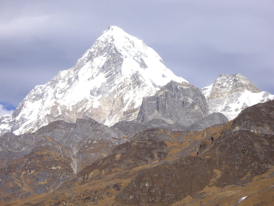
Day 4: From the Upper Christibung lodge we climb further until the tree line is reached and we ascend further until we reach the Kopra Ridge Lodge which lies at 3660 m altitude. From there, it is fairly easy to do an afternoon hike to a small mountain lake which lies at about 3950 m altitude. The small hill next to the lake brings you closer to the 4000 m mark (but just not...:( ). Along the way to this point, great panoramic views invite you to take an endless number of photographs of the surrounding mountains.
Day 5: The day starts with a short hike to the deepest gorge in the world, the Khali Ghandaki gorge (20 mins from the Kopra Ridge lodge). From Kopra Ridge we walk back on the path where we have come from the day before and leave it at a small pond (which is dried out in autumn/winter) in order to continue along a narrow path to our next lodge lying at 3400 m (Bayeli Kharka).
Day 6: We descend almost the entire day through a thick Rhododendron forrest until we reach our lodge in the small village of Ghandruk at 2000 m altitude.
Day 7: On the last day of the trek we descend down to the river Modi and follow it to our starting point, the village of Naya Phul.
Tour Galerie
Tour Karte und Höhenprofil
Minimale Höhe 996 m
Maximale Höhe 3993 m
Mehr zum Tourautor
|
|
blobic |
Kommentare

You can reach the village of Naya Phul by car from Pokhara (approx. 1.5 h).
GPS-Tracks
Trackpunkte-
GPX / Garmin Map Source (gpx) download
-
TCX / Garmin Training Center® (tcx) download
-
CRS / Garmin Training Center® (crs) download
-
Google Earth (kml) download
-
G7ToWin (g7t) download
-
TTQV (trk) download
-
Overlay (ovl) download
-
Fugawi (txt) download
-
Kompass (DAV) Track (tk) download
-
Tourenblatt (pdf) download
-
Originaldatei des Autors (gpx) download
Mehr zum Tourautor
|
|
blobic |
Zu meinen Favoriten hinzufügen
Von meinen Favoriten entfernen
Tags bearbeiten
Tour öffnen
Meine Bewertung
Bewerten