
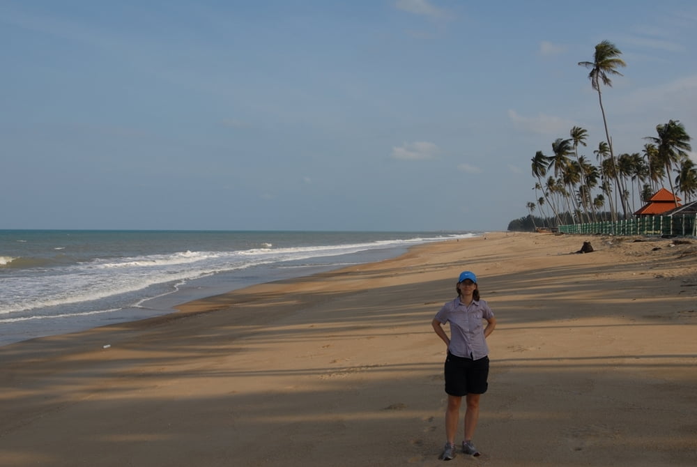

if you are looking for collecting km on the bike, this tour will give you a lot! Be prepared for a lot of traffic on the (quite narrow) Nr 3, that offers so-so tarmac conditions. The part on the Nr 14 is much better (tarmac, less traffic) but has far more rolling hills. If you'd like to enjoy the beatiful beaches along the way, do not hesitate to do so around Cherating.
When being around between October and April, get ready for constant (strong) wind. In this time of the year, swimming in the sea is also a tedious job, as the current is strong and waves are high. For the sea to enjoy, just wait until April-September.
Tour Karte und Höhenprofil
Minimale Höhe 3 m
Maximale Höhe 76 m
Kommentare

Take the final exit in Kuantan from the West-East Expressway E8. Actually, you can start cycling right there nearby, no need to travel back to the city, as you'll avoid a lot of traffic.
GPS-Tracks
Trackpunkte-
GPX / Garmin Map Source (gpx) download
-
TCX / Garmin Training Center® (tcx) download
-
CRS / Garmin Training Center® (crs) download
-
Google Earth (kml) download
-
G7ToWin (g7t) download
-
TTQV (trk) download
-
Overlay (ovl) download
-
Fugawi (txt) download
-
Kompass (DAV) Track (tk) download
-
Tourenblatt (pdf) download
-
Originaldatei des Autors (gpx) download
Zu meinen Favoriten hinzufügen
Von meinen Favoriten entfernen
Tags bearbeiten
Tour öffnen
Meine Bewertung
Bewerten