Login

Login vergessen?

Cookies müssen akzeptiert werden!
Die Cookie-Funktion Ihres Browsers ist deaktiviert. Bitte aktivieren Sie die Funktion.

Noch kein Mitglied?

Jetzt Registrieren
Login

Nur für eingeloggte Benutzer möglich

Melde dich an, um diese Funktion nutzen zu können.

Login vergessen?

Cookies müssen akzeptiert werden!
Die Cookie-Funktion Ihres Browsers ist deaktiviert. Bitte aktivieren Sie die Funktion.

Noch kein Mitglied?

Jetzt Registrieren
Filter
Kategorien
Erweiterte Filter
  • Länge (km)
  • Höhenmeter
Filter speichern Filter zurücksetzen

TrackRank

QRCode

Technische Daten

Länge185,5 km Höhenmeter354 m Abstieg379 m Dauer06:30 h:m Datum10.02.2009
Bewertungen Autor Landschaft Spaßfaktor Kondition Technik

Statistik

127 Views Bewertungen 4 Downloads Durchschnitt
Bewerten
  • Tourenblatt
  • Anfahrt
  • Downloads

Long and pretty flat course, but can be very windy, especially between October and April. The coastal road is an absolute dream for those who like to ride flat out - almost completely flat (all the climbing is done inland on the Nr 3), with new tarmac on almost the complete 80km from Jerti to Kuala Terengganu.

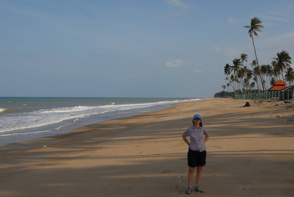
...and if you like to chill out at the beach, there are a lot of opportunities...

Tour Karte und Höhenprofil

  • Open Street Map
  • Google
Minimale Höhe 4 m Maximale Höhe 41 m Detailansicht

Mehr zum Tourautor

mblanarik
Mitglied seit 2006

Land: Deutschland

47 erstellte Touren
6.7
Private Nachricht senden

Kommentare

...just get to Kuala Terengganu, then head for the airport and towards Kota Bharu via the Nr 3. Park somewhere near the big rounabout and head towards Lake/Tasik Kenyir... the rest is pretty straight forward, as there are not that many roads in the East.

GPS-Tracks

Trackpunkte
  • GPX / Garmin Map Source (gpx) download
  • TCX / Garmin Training Center® (tcx) download
  • CRS / Garmin Training Center® (crs) download
  • Google Earth (kml) download
  • G7ToWin (g7t) download
  • TTQV (trk) download
  • Overlay (ovl) download
  • Fugawi (txt) download
  • Kompass (DAV) Track (tk) download
  • Tourenblatt (pdf) download
  • Originaldatei des Autors (gpx) download

Mehr zum Tourautor

mblanarik
Mitglied seit 2006

Land: Deutschland

47 erstellte Touren
6.7
Private Nachricht senden
Tour teilen
Zu meinen Favoriten hinzufügen
Von meinen Favoriten entfernen
Tags bearbeiten
Meine Bewertung
Bewerten
Tour: Terengganu North: Kuala Terengganu-Jertih Hwy nr 3 and back at the coastal road
Art: Rennrad
Länge: 185,5 km
Bewertet am:
Dauer:
Tag(e)
Stunde(n)
Minute(n)
Bewertung: Landschaft Spaßfaktor Kondition Technik