


This tour was record with Garmin Colorado 300 and post-worked with Map Source.
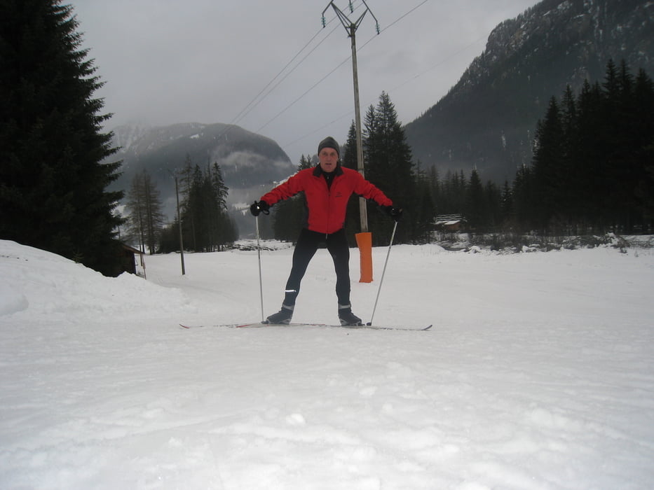
This cross-country skiing tour starts in Campitello close to the Col Rodella cable railway bus parking and it can be combined with the 8.9 km Campitello-Mazin Loop, GPS-Tour #50425.
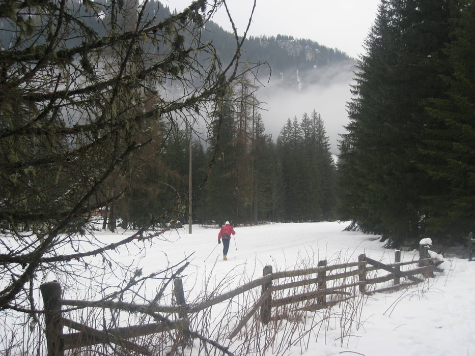
The cross-country ski track is build in two parts, for classic cross-country and a broad part for skating. It is part of the famous 70 km long Marcialonga cross-country race course.
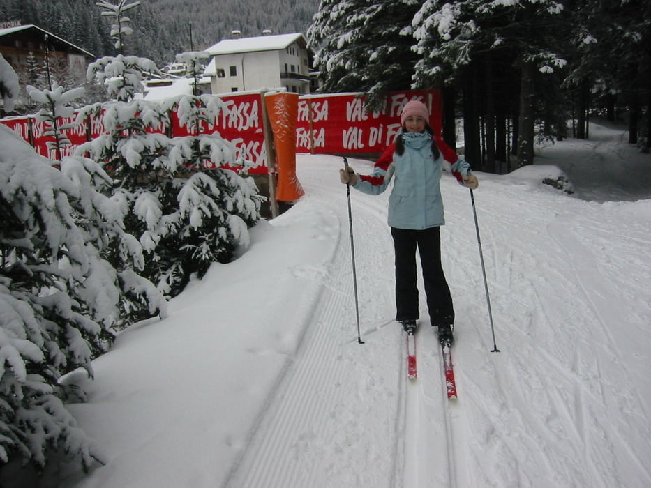
From Campitello the trail goes straight to Canazei and via a snake part back to Campitello.
At Canazei you can extend the trail with a right turn to the center.
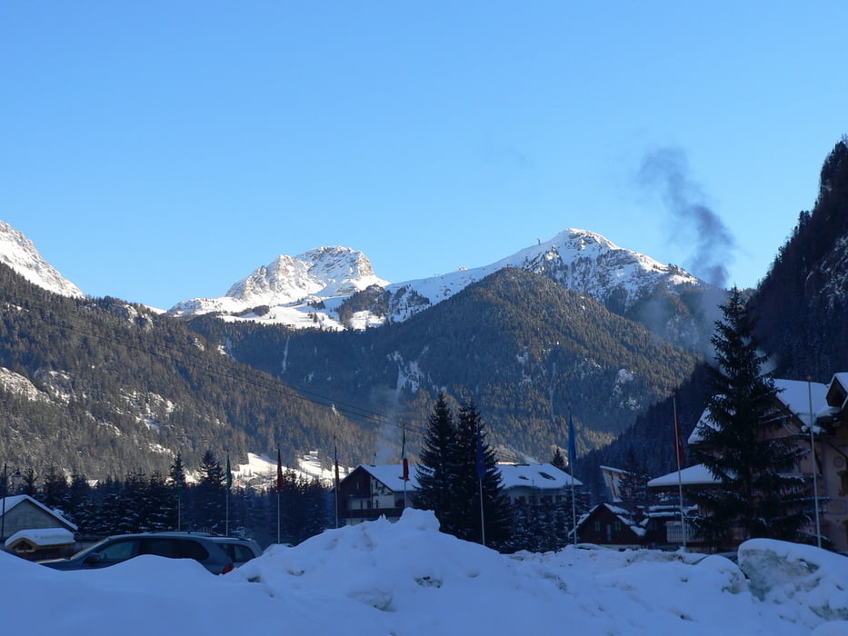
At this trail you will have a wonderful outlook from the Val di Fassa to the unique Dolomiti mountains environment.
Have fun at this nice cross-country skiing track.
P.S. Video-clips to my gps-tours - based on different categories - you can find under the attached link in further information. It will guide you to YouTube.
Weitere Informationen unter
http://hvdh.info/Tour Galerie
Tour Karte und Höhenprofil
Minimale Höhe 2403 m
Maximale Höhe 2430 m
Mehr zum Tourautor
|
|
HvdH |
Kommentare

The start of this cross-country skiing trail is in Campitello close to the Col Rodella cable railway. From the areas arrount you can use the skiing busses to go to this place. You can start as well in Canazei at any place of the trail.
GPS-Tracks
Trackpunkte-
GPX / Garmin Map Source (gpx) download
-
TCX / Garmin Training Center® (tcx) download
-
CRS / Garmin Training Center® (crs) download
-
Google Earth (kml) download
-
G7ToWin (g7t) download
-
TTQV (trk) download
-
Overlay (ovl) download
-
Fugawi (txt) download
-
Kompass (DAV) Track (tk) download
-
Tourenblatt (pdf) download
-
Originaldatei des Autors (gpx) download
Mehr zum Tourautor
|
|
HvdH |
Zu meinen Favoriten hinzufügen
Von meinen Favoriten entfernen
Tags bearbeiten
Tour öffnen
Meine Bewertung
Bewerten