
")

Rad - Schmetterling "violett"
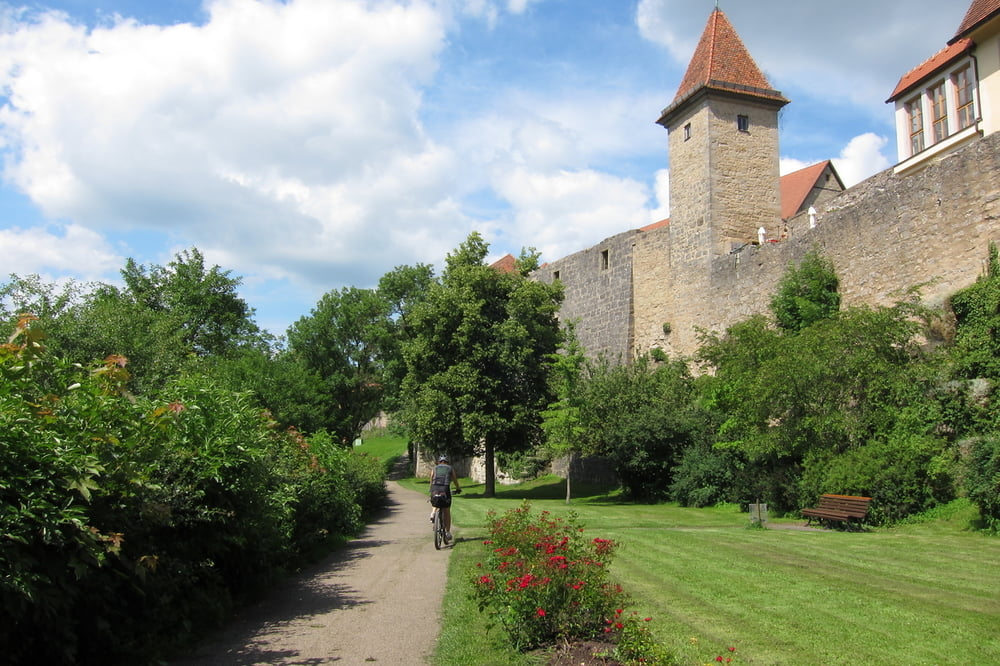
Wir sind die Tour nicht komplett abgefahren, sondern auf 62km gekürzt. Den violetten Flügel sind wir in Detwang, Rothenburg ob der Tauber, beim Hotel - Gasthof schwarzes Lamm gestartet (empfehlenswerte Unterkunft und gutes Essen).
http://www.hotelschwarzeslamm.de/
Die Strecke ist mit einem Schmetterling und violetten Pfeil beschildert. An manchen Stellen gab sie uns Rätsel auf. Den Rückweg sind wir auf der alten Bahnlinie nach Rothenburg o. d. T. gefahren. Dort eine Stadtrunde mit Einkehrschwung gemacht und sind anschließend nach Detwang zu unserem Ausgangspunkt.
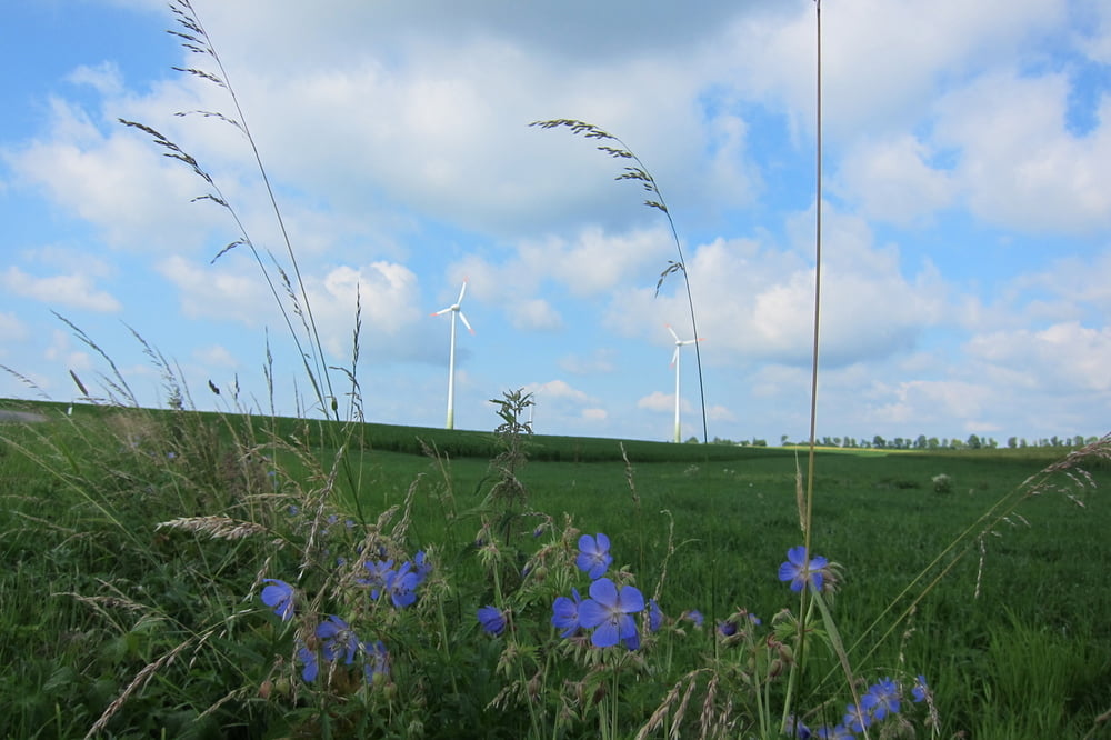
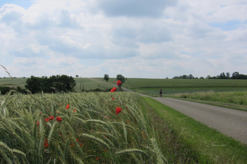
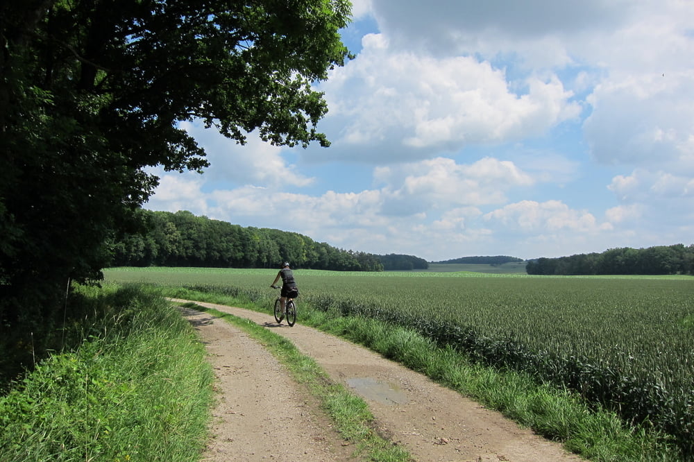
Wegbeschaffenheit: meist auf Asphalt, Wald und Kieswege.
Für eine bessere Bewertung der Tour, bieten die Wege und Landschaft zuwenig Abwechslung!
http://www.fahrrad-tour.de/Frankenhoehe/UebRadschmetterling.htm#AnfUebRadschmetterling
Tipp: für Rothenburg ob der Tauber, sollte man sich einen Tag zur Besichtigung Zeit nehmen. (Internationales Publikum)
Radschmetterling "blau" /de/touren/detail.103477.html
Further information at
http://de.wikipedia.org/wiki/Rothenburg_ob_der_TauberTour gallery
Tour map and elevation profile
Minimum height 332 m
Maximum height 495 m
More about the tour author
|
|
W-C |
Comments

Von der A7 kommend, Ausfahrt Rothenburg ob der Tauber, weiter nach Detwang 21, zum Gasthof schwarzes Lamm
Hotel Gasthof Schwarzes Lamm - Koordinaten für dein Navigationsgerät
N 49° 23. 199´
E 10° 10. 070´
GPS tracks
Trackpoints-
GPX / Garmin Map Source (gpx) download
-
TCX / Garmin Training Center® (tcx) download
-
CRS / Garmin Training Center® (crs) download
-
Google Earth (kml) download
-
G7ToWin (g7t) download
-
TTQV (trk) download
-
Overlay (ovl) download
-
Fugawi (txt) download
-
Kompass (DAV) Track (tk) download
-
Track data sheet (pdf) download
-
Original file of the author (gpx) download
More about the tour author
|
|
W-C |
Add to my favorites
Remove from my favorites
Edit tags
Open track
My score
Rate