


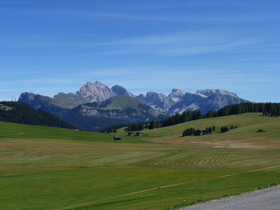
BZ - Atzwang - Konstantin - Seiser Alm - Zallinger - Plattkofelhütte bis hierher mit MTB. Je nach Fahrkönnen ist auf dem letzten Stück zur Plattkofelhütte ein paar Minuten zu schieben. Jetzt fehlen noch ca. 600 Hm auf nicht allzuschwierigen Steig bis zum Gipfel. Zurück zur Plattkofelhütte und hier Richtung W (Tierser Alpl) - Mahlknecht Hütte - Kompatsch und von Völs auf Steig Nr. 1 nach Steg und Radweg zurück nach BZ.
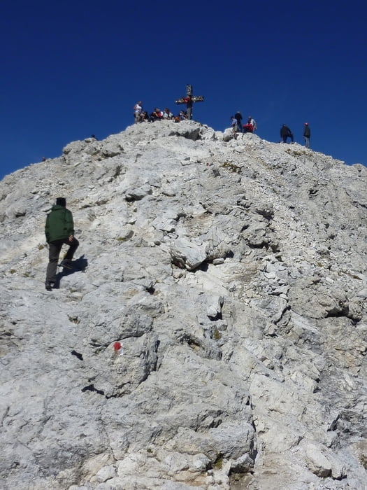
Auch wenn der Steig zum Gipfel gut ist, wird von einer Besteigung mit den Radschuhen abgeraten.
Trackdatum: 15.09.2012
Landkarte: Tabacco 05
Es sind mehrere Einkehrmöglichkeiten, die bis mitte Oktober offen sind. Zallinger, Mahlknechthütte, Plattkofelhütte
Further information at
http://www.seiseralm.it/de/info/willkommen-auf-der-seiser-alm.htmlTour gallery
Tour map and elevation profile
Minimum height 257 m
Maximum height 2923 m
More about the tour author
|
|
Califan |
Comments

Auf den Radweg in Bozen Richtung Norden
GPS tracks
Trackpoints-
GPX / Garmin Map Source (gpx) download
-
TCX / Garmin Training Center® (tcx) download
-
CRS / Garmin Training Center® (crs) download
-
Google Earth (kml) download
-
G7ToWin (g7t) download
-
TTQV (trk) download
-
Overlay (ovl) download
-
Fugawi (txt) download
-
Kompass (DAV) Track (tk) download
-
Track data sheet (pdf) download
-
Original file of the author (gpx) download
More about the tour author
|
|
Califan |
Add to my favorites
Remove from my favorites
Edit tags
Open track
My score
Rate