Login

Forgot your login?

Cookies have to be accepted!
Your browser's cookie functionality is disabled. Please enable this functionality.

Not a member yet?

Register now
Login

Available for registred users only

Log in to use this feature.

Forgot your login?

Cookies have to be accepted!
Your browser's cookie functionality is disabled. Please enable this functionality.

Not a member yet?

Register now
Filter
Categories
Advanced filters
  • Distance (km)
  • Height
Save filters Reset filter

TrackRank

QRCode

Technical data

Distance41,7 km Height1437 m Way down1451 m Duration03:00 h:m Date18.10.2012
Scores Author Landscape Fun factor Fitness Technique

Statistics

429 Views Scores 36 Downloads Average
Rate
  • Track data sheet
  • Directions
  • Downloads


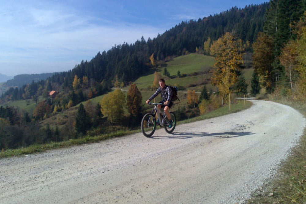
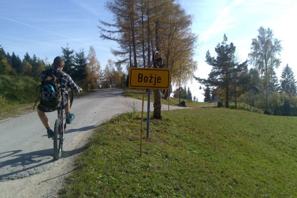
Zreče - Gorenje - Koroška vas - Božje - Lukanja - Jurgovo - Koča na Pesku - Rogla - Zreče

Further information at

https://mtb-itd.si/poti/rogla_iz_zrec

Tour gallery

Tour map and elevation profile

  • Open Street Map
  • Google
Minimum height 459 m Maximum height 1538 m Detailed view

More about the tour author

andrejno
Member since 2012

Send private message

Comments

GPS tracks

Trackpoints
  • GPX / Garmin Map Source (gpx) download
  • TCX / Garmin Training Center® (tcx) download
  • CRS / Garmin Training Center® (crs) download
  • Google Earth (kml) download
  • G7ToWin (g7t) download
  • TTQV (trk) download
  • Overlay (ovl) download
  • Fugawi (txt) download
  • Kompass (DAV) Track (tk) download
  • Track data sheet (pdf) download
  • Original file of the author (gpx) download

More about the tour author

andrejno
Member since 2012

Send private message
Share track
Add to my favorites
Remove from my favorites
Edit tags
My score
Rate
Track: Pohorje: Rogla iz Zreč
Type: Mountain bike
Distance: 41,7 km
Evaluated on:
Duration:
Day(s)
Hour(s)
Minute(s)
Score: Landscape Fun factor Fitness Technique