


27.7.2007
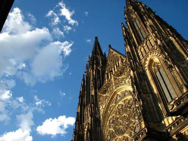
Fotografie nejsou z mé cesty, protože jsem nefotil, ale z mých toulek Prahou. Dal jsem je sem proto, aby tu byli i obrázky.
Fotografie nejsou z mé cesty, protože jsem nefotil, ale z mých toulek Prahou. Dal jsem je sem proto, aby tu byli i obrázky.
Tour gallery
Tour map and elevation profile
Minimum height 193 m
Maximum height 461 m
More about the tour author
|
|
tmax |
Comments

Senohraby - Mirošovice - Dolní Lomnice - Velké Popovice - Petříkov - Křížový Újezdec - Čenětice - Olešky - Herink - Dobřejovice - Průhonický park - Hrnčíře - Praha Kunratice - Praha Nové Dvory - Praha Krč - Praha Podolí - Praha Vyšehrad - Praha Nový Smíchov(Anděl) - Praha Košíře(Plzeňská) - Praha Řepy
***silnice s přemávkou
***silnice s přemávkou
GPS tracks
Trackpoints-
GPX / Garmin Map Source (gpx) download
-
TCX / Garmin Training Center® (tcx) download
-
CRS / Garmin Training Center® (crs) download
-
Google Earth (kml) download
-
G7ToWin (g7t) download
-
TTQV (trk) download
-
Overlay (ovl) download
-
Fugawi (txt) download
-
Kompass (DAV) Track (tk) download
-
Track data sheet (pdf) download
-
Original file of the author (g7t) download
More about the tour author
|
|
tmax |
Add to my favorites
Remove from my favorites
Edit tags
Open track
My score
Rate