Login

Forgot your login?

Cookies have to be accepted!
Your browser's cookie functionality is disabled. Please enable this functionality.

Not a member yet?

Register now
Login

Available for registred users only

Log in to use this feature.

Forgot your login?

Cookies have to be accepted!
Your browser's cookie functionality is disabled. Please enable this functionality.

Not a member yet?

Register now
Filter
Categories
Advanced filters
  • Distance (km)
  • Height
Save filters Reset filter

TrackRank

QRCode

Technical data

Distance60,3 km Height2702 m Way down2702 m Duration04:40 h:m Date17.07.2013
Scores Author Landscape Fun factor Fitness Technique

Statistics

472 Views Scores 48 Downloads Average
Rate
  • Track data sheet
  • Directions
  • Downloads

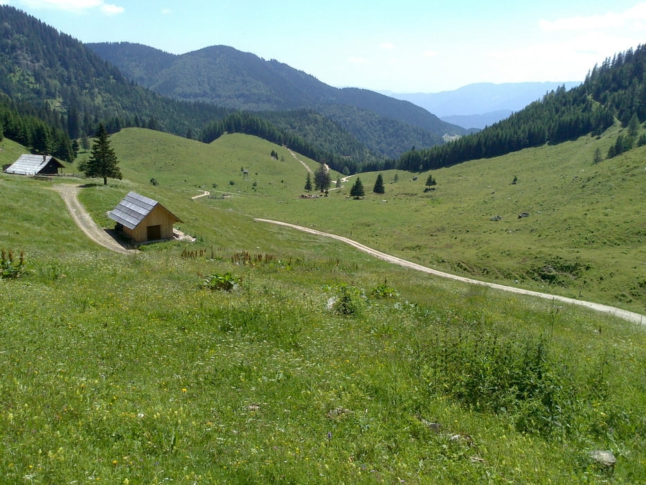
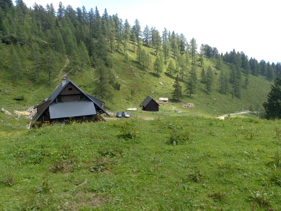
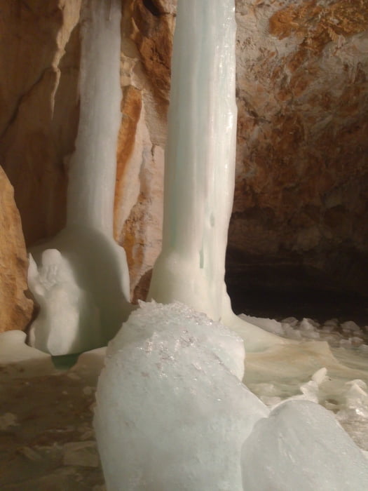
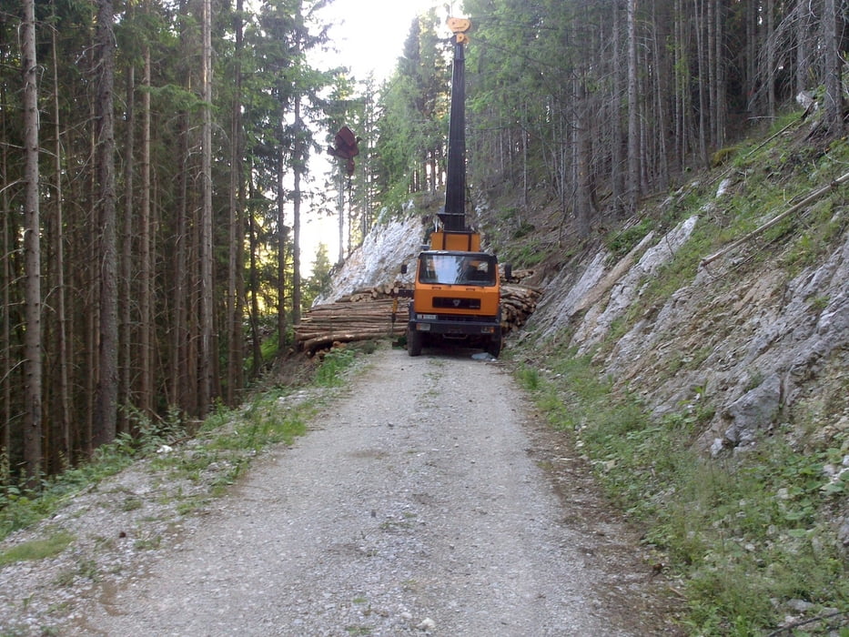
Luče-Solčava-Podolševa-Ježevo-Bistra-Pod Ludranskim vrhom-Bela peč-Planina Vodol-Koča na Loki-Snežna jama-Cirkovnica-Huda raven-Luče


Further information at

https://mtb-itd.si/poti/okrog_raduhe

Tour gallery

Tour map and elevation profile

  • Open Street Map
  • Google
Minimum height 528 m Maximum height 1548 m Detailed view

More about the tour author

andrejno
Member since 2012

Send private message

Comments

GPS tracks

Trackpoints
  • GPX / Garmin Map Source (gpx) download
  • TCX / Garmin Training Center® (tcx) download
  • CRS / Garmin Training Center® (crs) download
  • Google Earth (kml) download
  • G7ToWin (g7t) download
  • TTQV (trk) download
  • Overlay (ovl) download
  • Fugawi (txt) download
  • Kompass (DAV) Track (tk) download
  • Track data sheet (pdf) download
  • Original file of the author (gpx) download

More about the tour author

andrejno
Member since 2012

Send private message
Share track
Add to my favorites
Remove from my favorites
Edit tags
My score
Rate
Track: Okrog Raduhe
Type: Mountain bike
Distance: 60,3 km
Evaluated on:
Duration:
Day(s)
Hour(s)
Minute(s)
Score: Landscape Fun factor Fitness Technique