


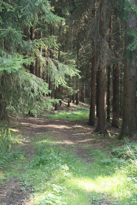
Diese Tour ist eine Kombination aus den Touren "Grenzgang Landkreis Lichtenfels NO" und "Grenzgang Lichtenfels NW", letztere allerdings in umgekehrter Richtung. Es wird die gesamte Nordgrenze des Landkreises Lichtenfels abgefahren, wobei man die Nachbarlandkreise Kulmbach, Kronach und Coburg streift. Die Tour ist bis auf wenige Passagen offroad und bedarf teilweise eines etwas robusteren Drahtesels (man lernt eine Federgabel zu schätzen), die jedoch auch vom ungeübten Hobbyfahrer, wie ich einer bin, problemlos gemeistert werden kann. Es kann sowohl von Ost nach West wie auch umgekehrt gefahren werden, wobei hier die erste Variante dargestellt ist. Weitere Fotos aus dieser Tour entnehmt ihr bitte den beiden o. e. Einzeltouren.
Tour gallery
Tour map and elevation profile
Minimum height 277 m
Maximum height 475 m
More about the tour author

|
mattchen1801 |
Comments

Wir beginnen die Tour an der Landkreisgrenze zwischen Lichtenfels und Kulmbach an der Verbindungsstraße zwischen dem Weiler Flurholz und Schimmendorf.
Anfahrt über die B 170 von Burgkunstadt Richtung Kulmbach, in Mainroth rechts weg Richtung Gärtenroth und dort Richtung Schimmendorf.
Endpunkt der Tour ist Niederfüllbach bei Coburg. Anfahrt B4 Richtung Coburg, Aussfahrt Untersiemau.
GPS tracks
Trackpoints-
GPX / Garmin Map Source (gpx) download
-
TCX / Garmin Training Center® (tcx) download
-
CRS / Garmin Training Center® (crs) download
-
Google Earth (kml) download
-
G7ToWin (g7t) download
-
TTQV (trk) download
-
Overlay (ovl) download
-
Fugawi (txt) download
-
Kompass (DAV) Track (tk) download
-
Track data sheet (pdf) download
-
Original file of the author (gpx) download
More about the tour author
|
|
mattchen1801 |
Add to my favorites
Remove from my favorites
Edit tags
Open track
My score
Rate