


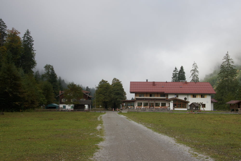
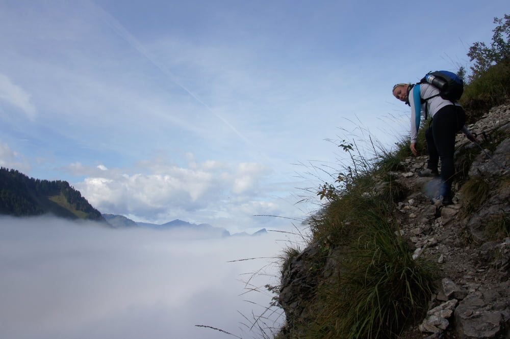
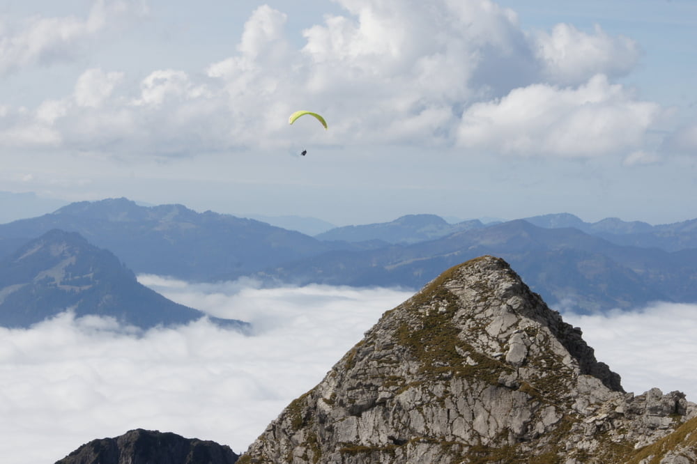
Die Tour beginnt an der Talstation der Nebelhornbahn, Wohnmobilfahrer starten vom nahen Wohnmobilstellplatz in der Hermann-von-Barth-Straße. Zunächst auf gutem Weg, teilweise auf Fahrweg, nur leicht ansteigend durchs Oytal bis zum Oytalhaus(1010m) wandern. Bis zum Oytalhaus benötigt man ca 1:45h. Hinterm Oytalhaus links den Gleitweg nehmen (Schild). Sofort nach der Abzweigung steigt der Gleitweg steil an. Der Gleitweg ist bis zum Seealpsee sehr anstrengend (ca. 2h vom Oytalhaus), Zur Entschädigung bieten sich aber sehr schöne Blicke auf die umliegenden Allgäuer Gipfel und ins Oytal. Oberhalb des Seealpsees wird der Weg flacher und bequemer. Auf leichtem Weg geht's weiter über den Zeigersattel (1922m) bis zum Edmund Probst Haus bzw.der Seilbahnstation Höfatsblick. Wer hier genug hat, kann die Seilbahn zurück nach Oberstdorf nehmen. Vom Edmund Probst Haus führt der teils asphaltierte und viel begangene Weg in ca. 1 Std. aufs Nebelhorn. Wer nicht den langen Abstieg nach Oberstdorf auf dem Fahrweg nehmen will steigt hier in die Nebehornbahn und läßt sich bequem ins Tal befördern.
Tour gallery

Tour map and elevation profile
Minimum height 817 m
Maximum height 2212 m
More about the tour author

|
KlausOttoFi |
Comments

Die Anfahrt zur Talstation der Nebelhornbahn ist ausgeschildert. Parkplätze gibt es auch beim nahen Eisstadion. Für Wohnmobilfahrer bietet sich die Übernachtung auf dem Wohnmobilstellplatz in der Hermann-von-Barth-Straße an. Von dort sind es nur wenige Minuten zu Fuß zur Nebelhornbahn
GPS tracks
Trackpoints-
GPX / Garmin Map Source (gpx) download
-
TCX / Garmin Training Center® (tcx) download
-
CRS / Garmin Training Center® (crs) download
-
Google Earth (kml) download
-
G7ToWin (g7t) download
-
TTQV (trk) download
-
Overlay (ovl) download
-
Fugawi (txt) download
-
Kompass (DAV) Track (tk) download
-
Track data sheet (pdf) download
-
Original file of the author (gpx) download
More about the tour author
|
|
KlausOttoFi |
Add to my favorites
Remove from my favorites
Edit tags
Open track
My score
Rate