


Eine Runde in den südlichen Speckgürtel von Berlin.
Zuerst am Teltowkanal entlang bis nach Teltow und mit möglichst wenig Straßenkontakt durch den Ort.
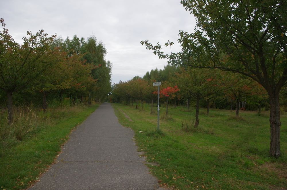
Die Wege die wir bis Güterfelde wählten boten teilweise recht schöne Naturinrücke in diesem relativ dicht bebauten Gebiet.
Von Güterfelde nach Philippstal ging es auf dem Radweg flott voran. Danch folgte ein Knick in Richtung Nudow und dann weiter nach Süden über Fahlhorst nach Gröben.
Weiter über Siethen nach Ludwigsfelde und nach Norden in den Heidering hinein und am Knast vorbei in das GVZ Großbeeren.
Als netter Abschluß diente ein Pfad vor der B101 nach Birkenhain. Von dort schnell auf den Mauerweg um auf diesem bis zur B101. Der Rest des Weges zum Ausgangspunkt war dann nur noch ein Hops.über die Berliner Schlaglöcher.
Further information at
https://de.wikipedia.org/wiki/Teltow_(Landschaft)Tour gallery
Tour map and elevation profile
Minimum height 43 m
Maximum height 61 m
More about the tour author
|
|
Pheinz |
Comments

Einstieg an beliebiger Stelle
GPS tracks
Trackpoints-
GPX / Garmin Map Source (gpx) download
-
TCX / Garmin Training Center® (tcx) download
-
CRS / Garmin Training Center® (crs) download
-
Google Earth (kml) download
-
G7ToWin (g7t) download
-
TTQV (trk) download
-
Overlay (ovl) download
-
Fugawi (txt) download
-
Kompass (DAV) Track (tk) download
-
Track data sheet (pdf) download
-
Original file of the author (gpx) download
More about the tour author
|
|
Pheinz |
Add to my favorites
Remove from my favorites
Edit tags
Open track
My score
Rate