Login

Forgot your login?

Cookies have to be accepted!
Your browser's cookie functionality is disabled. Please enable this functionality.

Not a member yet?

Register now
Login

Available for registred users only

Log in to use this feature.

Forgot your login?

Cookies have to be accepted!
Your browser's cookie functionality is disabled. Please enable this functionality.

Not a member yet?

Register now
Filter
Categories
Advanced filters
  • Distance (km)
  • Height
Save filters Reset filter

TrackRank

QRCode

Technical data

Distance175,5 km Height125 m Way down120 m Duration00:00 h:m Date24.10.2013
Scores Author Landscape Fun factor Fitness Technique

Statistics

1462 Views Scores 13 Downloads Average
Rate
  • Track data sheet
  • Directions
  • Downloads
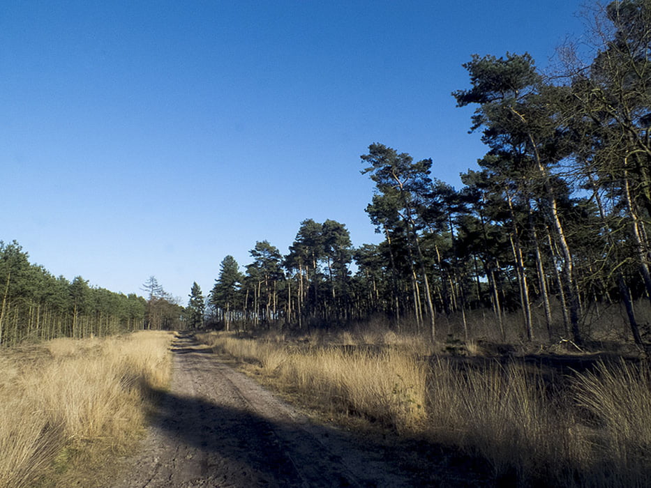
Overzicht van Ruiter Routes Omg Bergeijk Luyksgestel

Further information at

http://www.panoramio.com/user/7601825

Tour gallery

Tour map and elevation profile

  • Open Street Map
  • Google
Minimum height 26 m Maximum height 101 m Detailed view

More about the tour author

cyberxhorse
Member since 2013

Send private message

Comments

Overzicht Ruiterroutes omg Bergijk Luyksgestel

GPS tracks

Trackpoints
  • GPX / Garmin Map Source (gpx) download
  • TCX / Garmin Training Center® (tcx) download
  • CRS / Garmin Training Center® (crs) download
  • Google Earth (kml) download
  • G7ToWin (g7t) download
  • TTQV (trk) download
  • Overlay (ovl) download
  • Fugawi (txt) download
  • Kompass (DAV) Track (tk) download
  • Track data sheet (pdf) download
  • Original file of the author (gpx) download

More about the tour author

cyberxhorse
Member since 2013

Send private message
Share track
Add to my favorites
Remove from my favorites
Edit tags
My score
Rate
Track: Ruiter routes Luyksgestel Bergeijk
Type: Horseback riding
Distance: 175,5 km
Evaluated on:
Duration:
Day(s)
Hour(s)
Minute(s)
Score: Landscape Fun factor Fitness Technique