


Äußerst lohnende Tour mit prächtiger Aussicht.
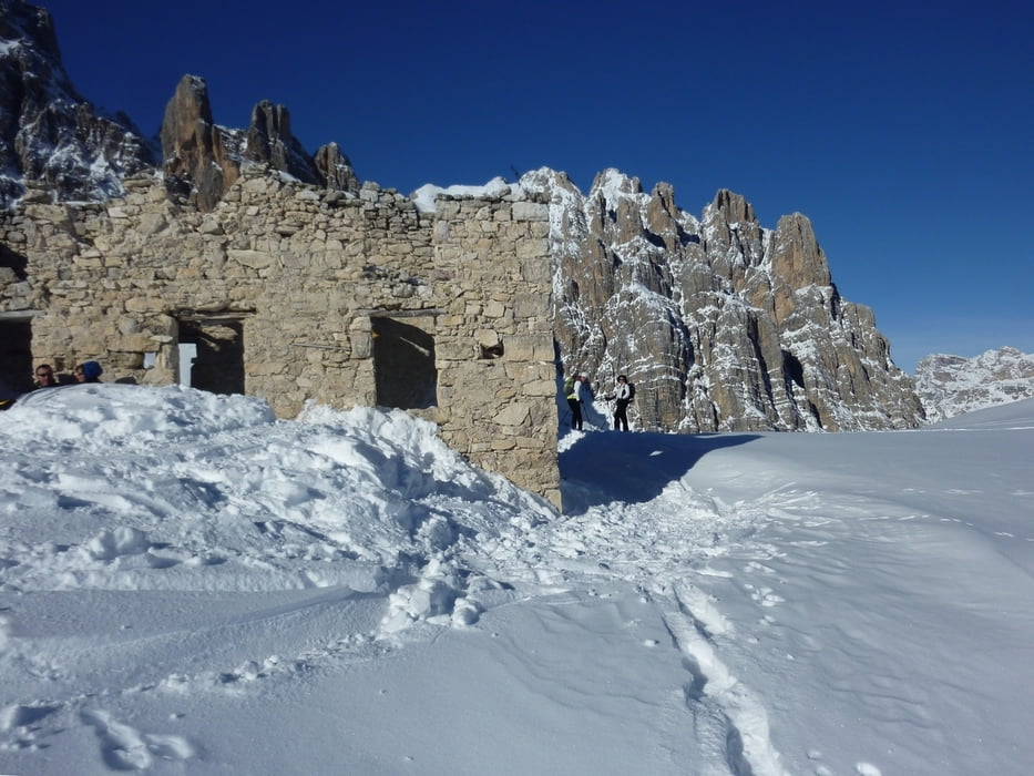
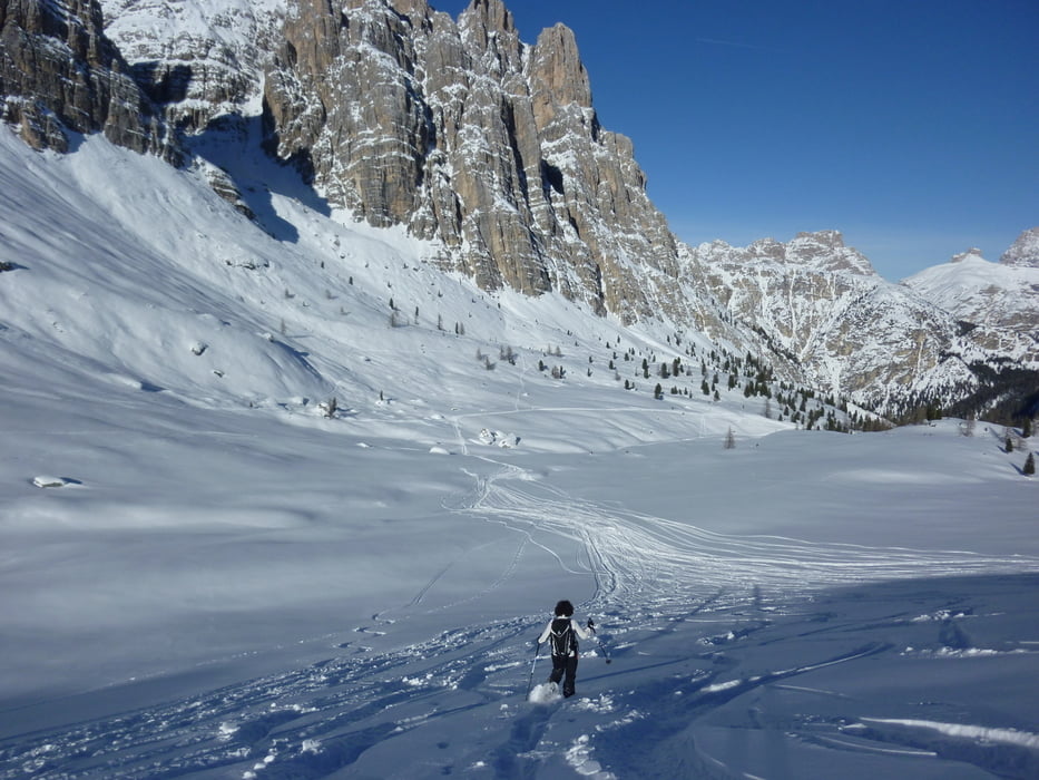
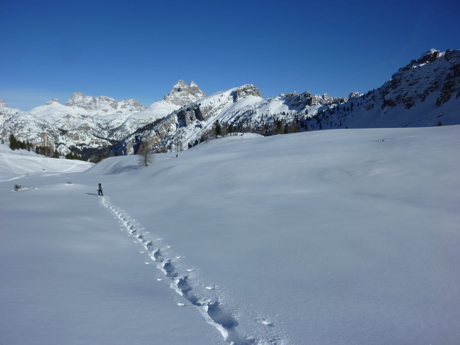
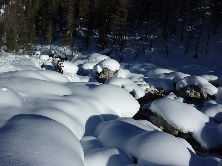
Der Weg schlängelt sich im ersten Teil zwischen Felsblöcken, Zirbelkiefern und Latschen Richtung Süden. Nach einer Geländestufe öffnet sich das Tal zu einem weiten Boden und erst am Talschlusss wird es wieder etwas steiler. So kommen wir zu den Mauerresten des Rifugio Popena (2214 m). Wir steigen noch auf die kleine Erhebung südlich der Ruine und haben einen herrlichen Blick auf die umliegenden Berge hin bis zu den Drei Zinnen im Norden.
Leichte und relativ sichere Tour.
Einkehrmöglichkeit: Keine
Landkarte: Tabacco 03 od. 010
Trackdatum 12.01.2014
Further information at
http://www.hochpustertal.info/Tour gallery
Tour map and elevation profile
Minimum height 1549 m
Maximum height 2148 m
More about the tour author
|
|
Califan |
Comments

Vom Pustertal Richtung Cortina, dann lx 3 Km Richtung Misurina. In der Kehre bei der Brücke einige Parkplätze entlang der Straße SS48bis.
GPS tracks
Trackpoints-
GPX / Garmin Map Source (gpx) download
-
TCX / Garmin Training Center® (tcx) download
-
CRS / Garmin Training Center® (crs) download
-
Google Earth (kml) download
-
G7ToWin (g7t) download
-
TTQV (trk) download
-
Overlay (ovl) download
-
Fugawi (txt) download
-
Kompass (DAV) Track (tk) download
-
Track data sheet (pdf) download
-
Original file of the author (gpx) download
More about the tour author
|
|
Califan |
Add to my favorites
Remove from my favorites
Edit tags
Open track
My score
Rate