


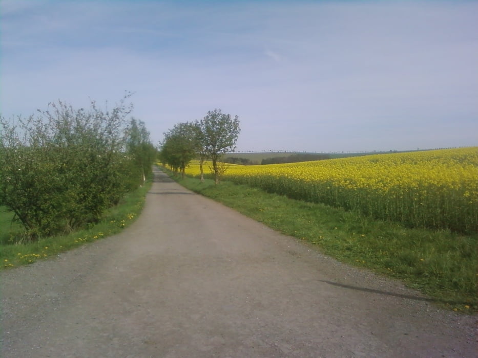
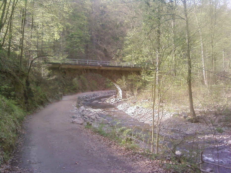
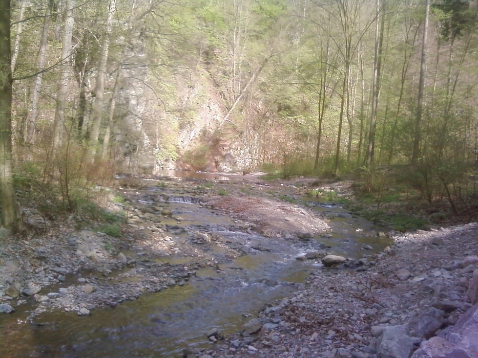
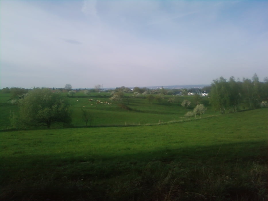
Kurze 2 h Runde durch den Poisenwald über Rabenau und den Rabenauer Grund nach Freital,dann zurück nach Possendorf den Bahndammweg entlang.2 große Anstiege sind zu bewältigen,am Anfang der Tour nach Obernauendorf und von Freital wieder hoch nach Burgk.Aber dafür geht es von der Rabenauer Mühle durch den Grund bis Freital bergab voll Speed ,aber Achtung in den unübersichtlichen Kurven können auf einmal Wandergruppen auftauchen und bei zu viel Geschwindigkeit gehts im hohen Bogen in die Weißeritz .
Gute Fahrt !
Tour gallery
Tour map and elevation profile
Minimum height 166 m
Maximum height 383 m
More about the tour author
|
|
lux326 |
Comments

los gehts in Possendorf Penny Parkplatz..Von Dresden aus die B 170 bis Kreuzung Possendorf und links weg bis Parkplatz .
GPS tracks
Trackpoints-
GPX / Garmin Map Source (gpx) download
-
TCX / Garmin Training Center® (tcx) download
-
CRS / Garmin Training Center® (crs) download
-
Google Earth (kml) download
-
G7ToWin (g7t) download
-
TTQV (trk) download
-
Overlay (ovl) download
-
Fugawi (txt) download
-
Kompass (DAV) Track (tk) download
-
Track data sheet (pdf) download
-
Original file of the author (gpx) download
More about the tour author
|
|
lux326 |
Add to my favorites
Remove from my favorites
Edit tags
Open track
My score
Rate