Login

Forgot your login?

Cookies have to be accepted!
Your browser's cookie functionality is disabled. Please enable this functionality.

Not a member yet?

Register now
Login

Available for registred users only

Log in to use this feature.

Forgot your login?

Cookies have to be accepted!
Your browser's cookie functionality is disabled. Please enable this functionality.

Not a member yet?

Register now
Filter
Categories
Advanced filters
  • Distance (km)
  • Height
Save filters Reset filter

TrackRank

QRCode

Technical data

Distance14,1 km Height417 m Way down423 m Duration00:00 h:m Date19.04.2014
Scores Author Landscape Fun factor Fitness Technique

Statistics

846 Views Scores 40 Downloads Average
Rate
  • Track data sheet
  • Directions
  • Downloads

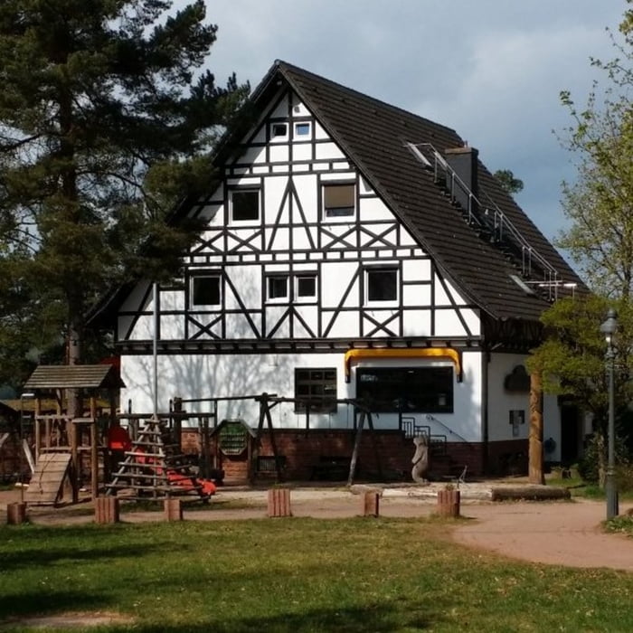
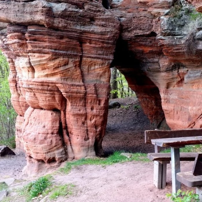
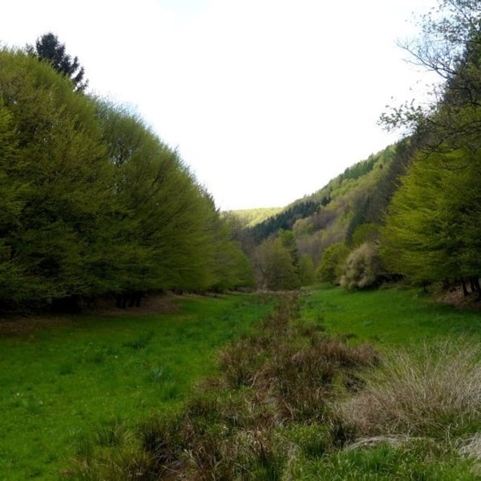
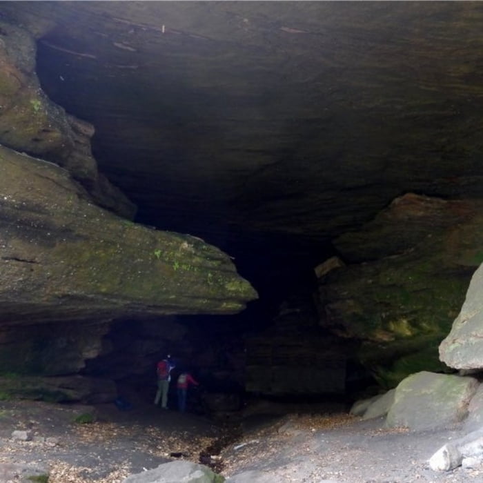
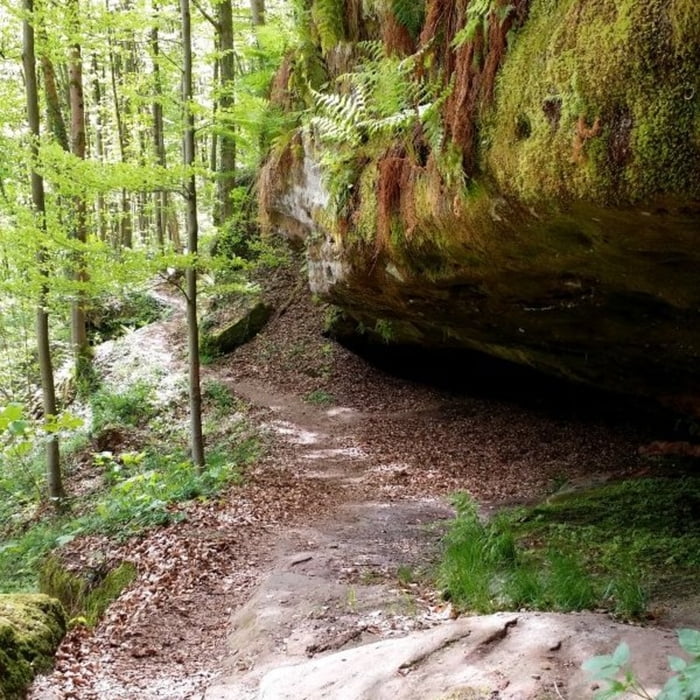
Startpunkt der Tour ist der Parkplatz beim Hilschberghaus. Die Strecke führt zunächst abwärts in den Ort, über die Bahnbrücke und anschließend hoch zum Bruderfelsen. Die Anstiege sind sehr lange und daher auch nicht anstrengend. Die Tour an sich verläuft überwiegen auf gleichem Niveau auf breiten Forstwirtschaftswegen und schönen Waldpfaden. Burder- und Bärenfelsen sind zwei sehr beeindruckende Gesteinsformationen.


Tour gallery

Tour map and elevation profile

  • Open Street Map
  • Google
Minimum height 251 m Maximum height 380 m Detailed view

More about the tour author

isg13
Member since 2010

Send private message

Comments

GPS tracks

Trackpoints
  • GPX / Garmin Map Source (gpx) download
  • TCX / Garmin Training Center® (tcx) download
  • CRS / Garmin Training Center® (crs) download
  • Google Earth (kml) download
  • G7ToWin (g7t) download
  • TTQV (trk) download
  • Overlay (ovl) download
  • Fugawi (txt) download
  • Kompass (DAV) Track (tk) download
  • Track data sheet (pdf) download
  • Original file of the author (gpx) download

More about the tour author

isg13
Member since 2010

Send private message
Share track
Add to my favorites
Remove from my favorites
Edit tags
My score
Rate
Track: Pfälzer Rundwanderung mit Einkehr - Hilschberghaus
Type: Hiking
Distance: 14,1 km
Evaluated on:
Duration:
Day(s)
Hour(s)
Minute(s)
Score: Landscape Fun factor Fitness Technique