


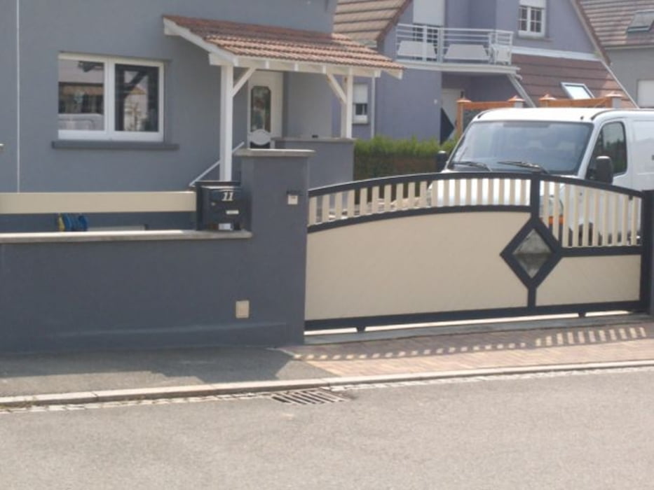
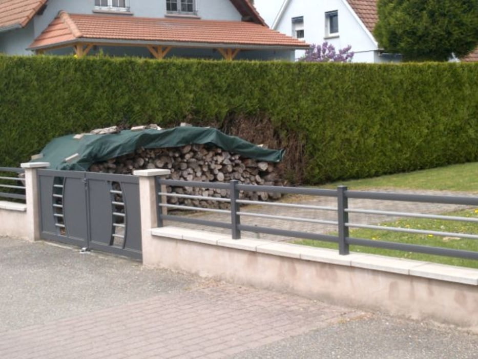
Diese Tour stand mal unter dem Gesichtspunkt: Wir betrachten uns mal die Umzäunungen und Hoftore in den Dörfern im Elsass ... und siehe da: auch im Elsass verzichtet man zunehmend oft - zumindest in den Neubaugebieten - auf Hoftore ... - kosten ja auch eine Kleinigkeit -;)
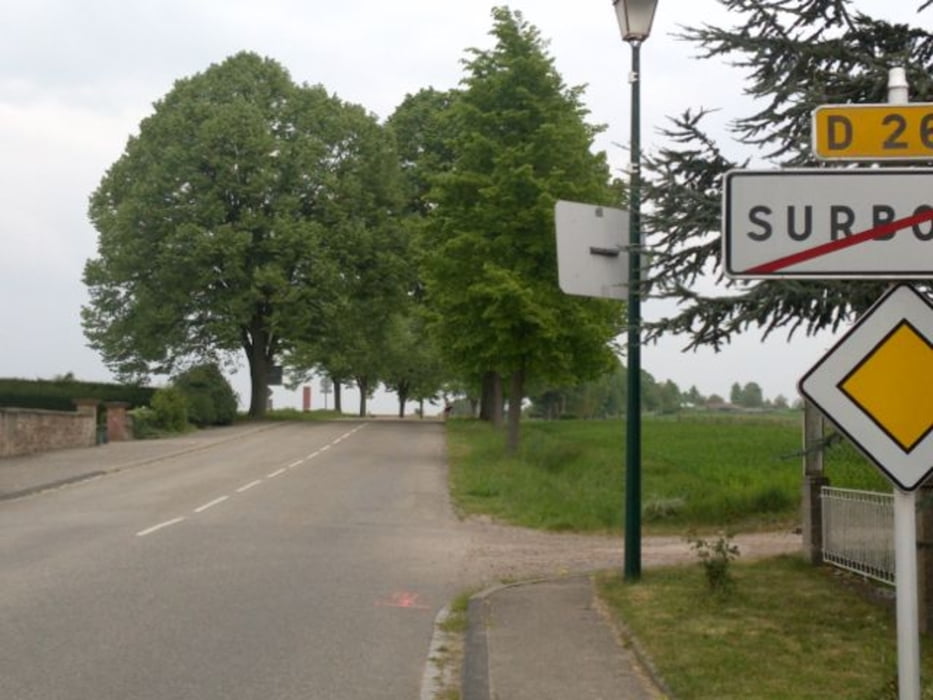
Startpunkt war - wieder einmal - Seebach, eins der schönsten und blumenreichsten Dörfer im Elsass. Die durchstreiften Dörfer waren Aschbach - Stundwiller - Hatten - Rittershoffen - Betschdorf - Surbourg - Soultz sur Forets - Hermerswiller - Hoffen - Hunspach und zurück nach Seebach.
Further information at
http://www.france-voyage.com/frankreich-stadte/seebach-26696.htmTour gallery
Tour map and elevation profile
Minimum height 128 m
Maximum height 232 m
More about the tour author

|
wosob |
Comments

Wissembourg - Altenstadt - Im Kreisel abbiegen Richtung Hagenau - danach 2. Abfahrt links nach Seebach - dort kann man schön in der Dorfmitte am Rathaus/Feuerwehr kostenlos parken.
GPS tracks
Trackpoints-
GPX / Garmin Map Source (gpx) download
-
TCX / Garmin Training Center® (tcx) download
-
CRS / Garmin Training Center® (crs) download
-
Google Earth (kml) download
-
G7ToWin (g7t) download
-
TTQV (trk) download
-
Overlay (ovl) download
-
Fugawi (txt) download
-
Kompass (DAV) Track (tk) download
-
Track data sheet (pdf) download
-
Original file of the author (gpx) download
More about the tour author
|
|
wosob |
Add to my favorites
Remove from my favorites
Edit tags
Open track
My score
Rate