Login

Forgot your login?

Cookies have to be accepted!
Your browser's cookie functionality is disabled. Please enable this functionality.

Not a member yet?

Register now
Login

Available for registred users only

Log in to use this feature.

Forgot your login?

Cookies have to be accepted!
Your browser's cookie functionality is disabled. Please enable this functionality.

Not a member yet?

Register now
Filter
Categories
Advanced filters
  • Distance (km)
  • Height
Save filters Reset filter

TrackRank

QRCode

Technical data

Distance127,3 km Height1027 m Way down776 m Duration00:00 h:m Date23.04.2014
Scores Author Landscape Fun factor Fitness Technique

Statistics

505 Views Scores 112 Downloads Average
Rate
  • Track data sheet
  • Directions
  • Downloads

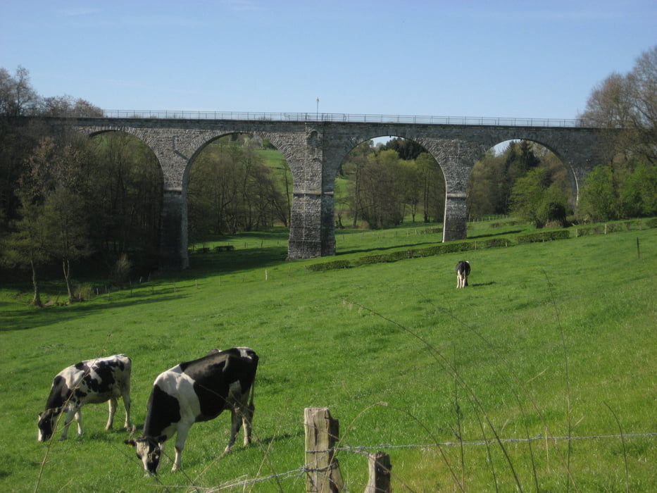
Von Aachen nach Troisviles. Im Bereich Kornelimünster wahren drei Viadukte wegen Bauarbeiten gesperrt, kann man normalerweise drüberfahren. Der Tunnel an der Grenze zu Luxemburg ist wegen Fledermäuse gesperrt, da ist die einzige Nennwerte Steigung wegen der Umfahrung.


Tour gallery

Tour map and elevation profile

  • Open Street Map
  • Google
Minimum height 161 m Maximum height 561 m Detailed view

More about the tour author

geisi-ald
Member since 2011

Send private message

Comments

GPS tracks

Trackpoints
  • GPX / Garmin Map Source (gpx) download
  • TCX / Garmin Training Center® (tcx) download
  • CRS / Garmin Training Center® (crs) download
  • Google Earth (kml) download
  • G7ToWin (g7t) download
  • TTQV (trk) download
  • Overlay (ovl) download
  • Fugawi (txt) download
  • Kompass (DAV) Track (tk) download
  • Track data sheet (pdf) download
  • Original file of the author (gpx) download

More about the tour author

geisi-ald
Member since 2011

Send private message
Share track
Add to my favorites
Remove from my favorites
Edit tags
My score
Rate
Track: Vennbahnradweg
Type: Bicycle tours
Distance: 127,3 km
Evaluated on:
Duration:
Day(s)
Hour(s)
Minute(s)
Score: Landscape Fun factor Fitness Technique