
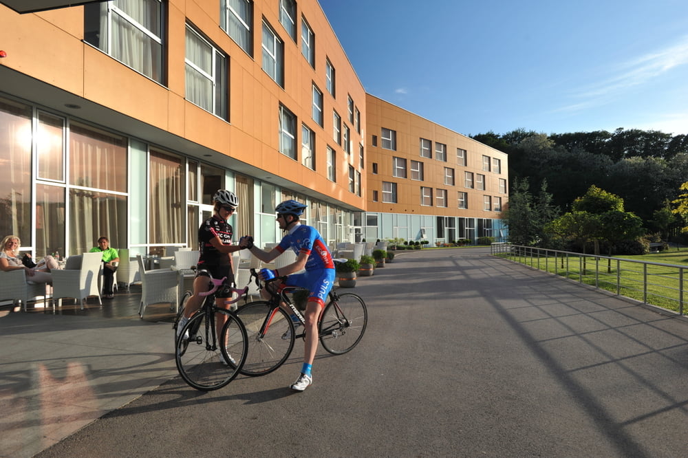

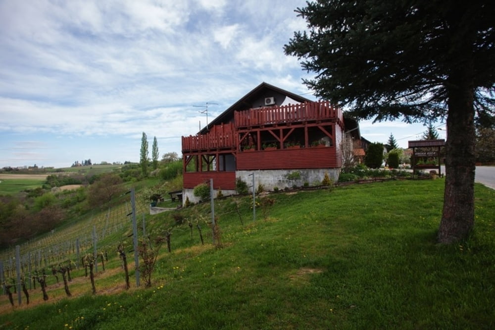
Odmah nakon polaska iz hotela čeka nas strmi uspon
nakon kojeg slijedi dugačak i lijep spust u dolinu. Idućih 10-
tak klilometara vozimo se kroz ravnicu da bi se ubrzo vratili
u “gorice” i laganim usponima i spustevima kroz pitome
i pitoreskne brežuljke vratili na početnu točku. Staza koja
otkriva svu raznolikost ovog prostora i staza nakon koje ćete
jedva čekati novo bicikliranje ovim krajem.
Napomena: staza je pogodna za TREKKING bicikle.
Immediately after you leave the hotel there is a steep uphill ride followed by a nice and long downhill ride into the valley. For the next 10 kilometers, we ride through the plains and soon return to the "hills". With easy uphill and downhill rides through the gentle hills we come back to the starting point. This trail reveals all the diversity of the area and makes you wish for another ride as soon as this one is finished.
http://spa-sport.hr
http://www.adriabike.hr
Tour gallery
Tour map and elevation profile
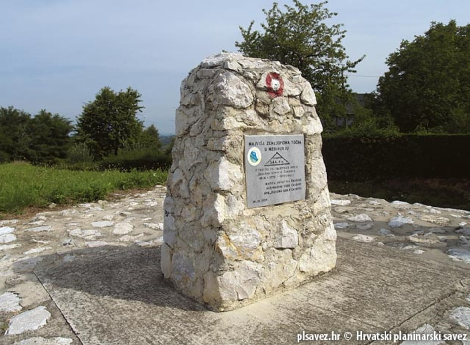
Minimum height 167 m
Maximum height 339 m
More about the tour author
|
|
AdriaBikeHotels |
Comments

GPS tracks
Trackpoints-
GPX / Garmin Map Source (gpx) download
-
TCX / Garmin Training Center® (tcx) download
-
CRS / Garmin Training Center® (crs) download
-
Google Earth (kml) download
-
G7ToWin (g7t) download
-
TTQV (trk) download
-
Overlay (ovl) download
-
Fugawi (txt) download
-
Kompass (DAV) Track (tk) download
-
Track data sheet (pdf) download
-
Original file of the author (gpx) download
More about the tour author
|
|
AdriaBikeHotels |
Add to my favorites
Remove from my favorites
Edit tags
Open track
My score
Rate