
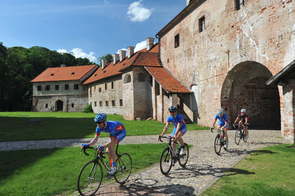

Ova staza provesti će vas kroz ravničarski dio Međimurja,
uz rijeku Muru i uz samu granicu sa Mađarskom. Staza
prolazi kroz granično mjesto Mursko Središće te kroz sami
centar Čakovca, glavnog grada Međimurja. Na povratku
u hotel staza ima jedan kratki brdoviti dio dok je ostali dio
rute primarno ravničarski. Preporuka: voziti desni krug.
This trail will lead you through the lowland part of Međimurje region, along the Mura River and along the border with Hungary. The trail passes through a border town of Mursko Središće and through the very center of Čakovec town, the capital of Međimurje. On the way back to the hotel, the trail has one short hilly portion while the rest of the route is primarily lowland.
Recommendation: ride the right circle.
http://spa-sport.hr
http://www.adriabike.hr
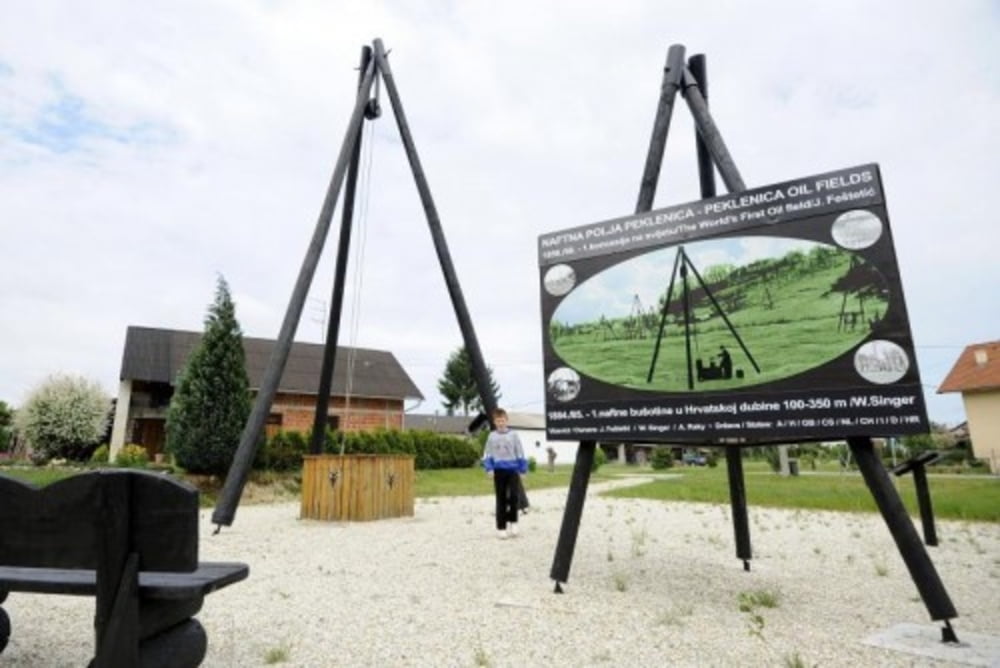
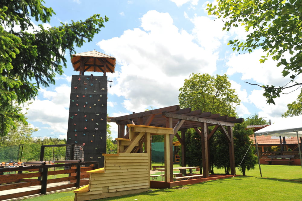
Tour gallery
Tour map and elevation profile
Minimum height 135 m
Maximum height 312 m
More about the tour author
|
|
AdriaBikeHotels |
Comments

GPS tracks
Trackpoints-
GPX / Garmin Map Source (gpx) download
-
TCX / Garmin Training Center® (tcx) download
-
CRS / Garmin Training Center® (crs) download
-
Google Earth (kml) download
-
G7ToWin (g7t) download
-
TTQV (trk) download
-
Overlay (ovl) download
-
Fugawi (txt) download
-
Kompass (DAV) Track (tk) download
-
Track data sheet (pdf) download
-
Original file of the author (gpx) download
More about the tour author
|
|
AdriaBikeHotels |
Add to my favorites
Remove from my favorites
Edit tags
Open track
My score
Rate