


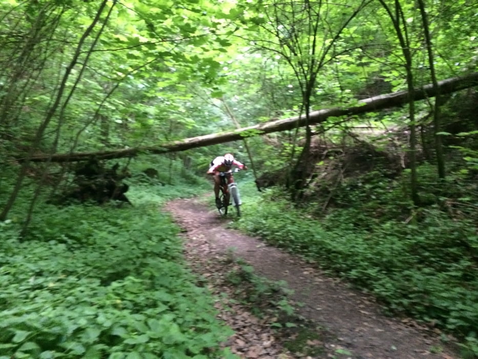
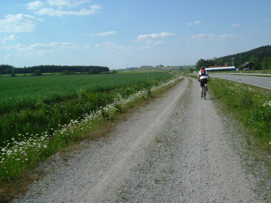
Weitgehend abseits von asphaltierten Straßen, erst auf Feld- und Waldstraßen, später auf schmaleren Pfaden und dem schönsten Trail der Stadt, die Alm hinunter bis zum Isar-Wald-Stadion. Da belohnt man sich gerne noch beim Lampl-Wirt (oder aber direkt in der Stadtmitte) mit einer kleinen Brotzeit.
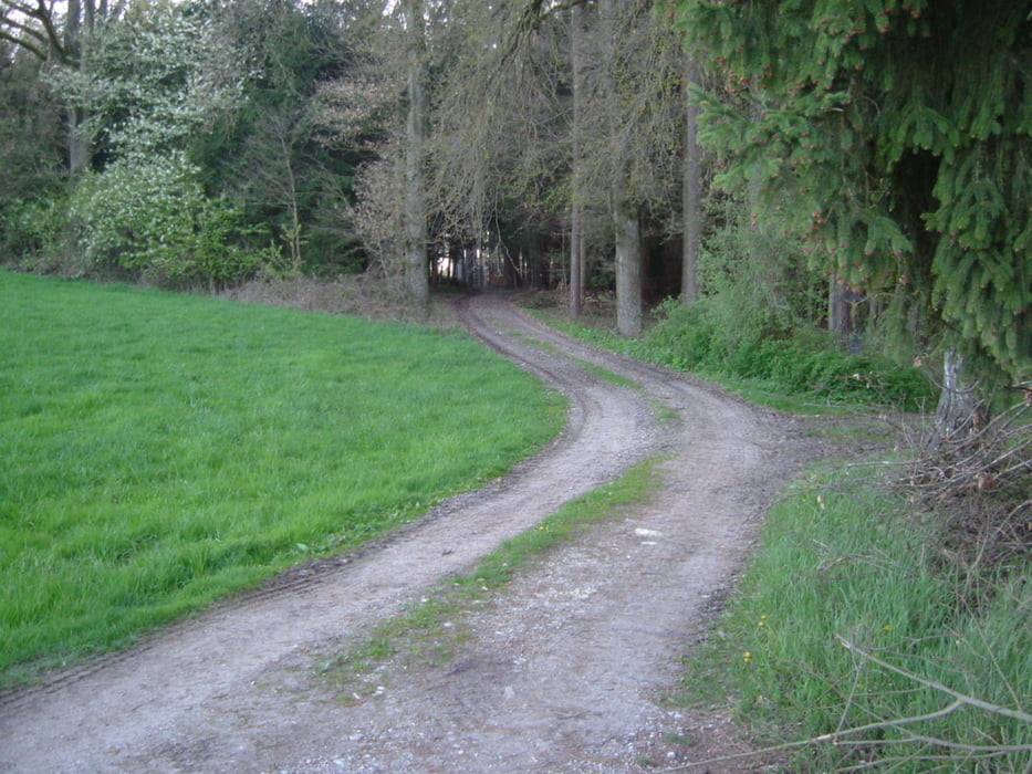
Rückfahrt durch den Stadtwald, vorbei am Lidl-Verbrauchermarkt und hoch zum Bolzplatz.
Tour gallery
Tour map and elevation profile
Minimum height 362 m
Maximum height 500 m
More about the tour author
|
|
charly60 |
Comments

Zunächst nach Dingolfing, Richtung Donau-Isar-Klinikum. Dann zur Westseite des Baugebiets Brunnerfeld. Auf der Westseite befindet sich ein kleiner Parkplatz mit Bolzplatz.
Für NAVI: Dingolfing, Ringstraße eingeben
Möglich ist aber auch ein Start vom Caprima-Parkplatz aus (kostenlos)
Für NAVI: Dingolfing, Kirchweihparkplatz oder Stadionstraße eingeben.
GPS tracks
Trackpoints-
GPX / Garmin Map Source (gpx) download
-
TCX / Garmin Training Center® (tcx) download
-
CRS / Garmin Training Center® (crs) download
-
Google Earth (kml) download
-
G7ToWin (g7t) download
-
TTQV (trk) download
-
Overlay (ovl) download
-
Fugawi (txt) download
-
Kompass (DAV) Track (tk) download
-
Track data sheet (pdf) download
-
Original file of the author (gpx) download
More about the tour author
|
|
charly60 |
Add to my favorites
Remove from my favorites
Edit tags
Open track
My score
Rate