


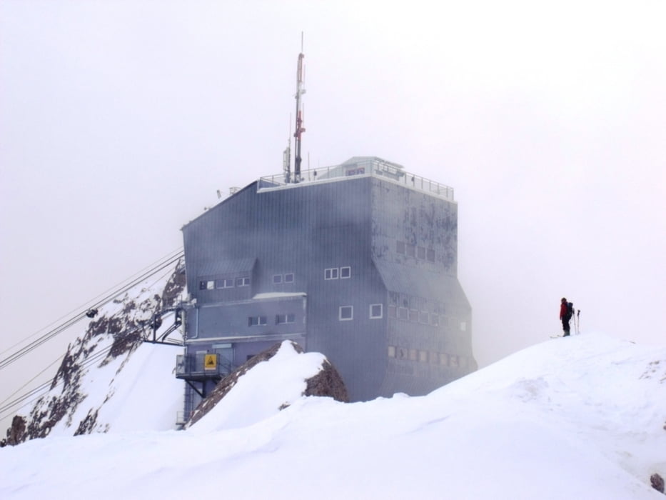
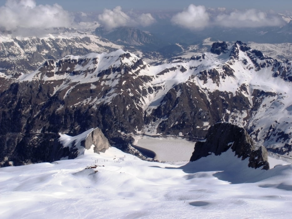
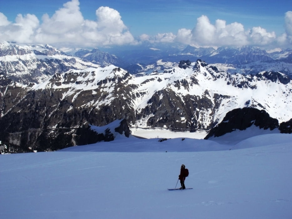
La partenza della discesa è fissata a Punta Rocca (3228 metri). La cima è raggiungibile tramite impianto (funivia) ma il vero scialpinista ci arriva con le pelli di foca. Ora la discesa si svolge in linea quasi retta lungo la via Livia che piomba sul rifugio Fiacconi Di qui si segue la pista battuta. L'itinerario non presenta difficoltà ma è necessario godere della massima visibilità. L'ultima curva all'arrivo della storica “bidonvia” a 2054 metri di quota. In tutto fanno 1234 metri di dislivello in circa un'ora di discesa (per chi sa centellinare la neve fresca)
Further information at
http://www.sentieridimontagna.com/itinerari/scialpinismo/marmolada-punta-rocca-3250mTour gallery
Tour map and elevation profile
Minimum height 2129 m
Maximum height 3275 m
More about the tour author
|
|
bonani |
Comments

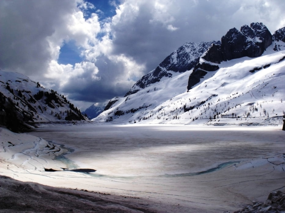
Per arrivare al passo Fedaia e di qui salire (con pelli o impianti) è necessario percorrere la Statale 48 delle Dolomiti fino a Canazei. Di qui proseguire in direzione del passo Fedaia. Fare attenzione a eventuali chiusure invernali della strada per pericolo valanghe
GPS tracks
Trackpoints-
GPX / Garmin Map Source (gpx) download
-
TCX / Garmin Training Center® (tcx) download
-
CRS / Garmin Training Center® (crs) download
-
Google Earth (kml) download
-
G7ToWin (g7t) download
-
TTQV (trk) download
-
Overlay (ovl) download
-
Fugawi (txt) download
-
Kompass (DAV) Track (tk) download
-
Track data sheet (pdf) download
-
Original file of the author (gpx) download
More about the tour author
|
|
bonani |
Add to my favorites
Remove from my favorites
Edit tags
Open track
My score
Rate