
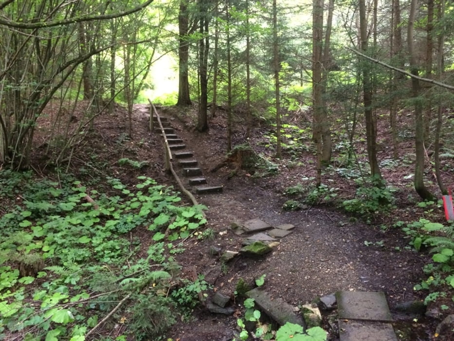

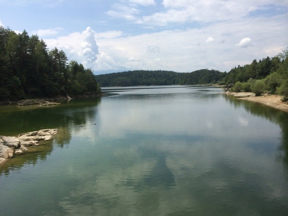
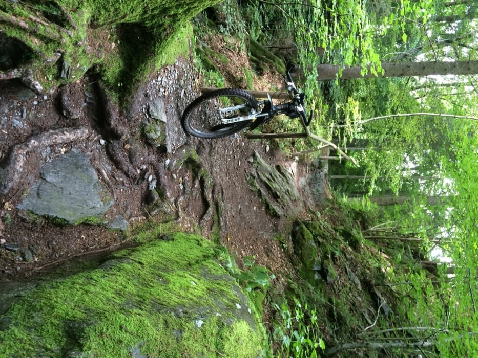
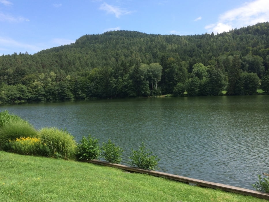
Abwechslungsreiche MTB Runde mit Start in Euopapark.
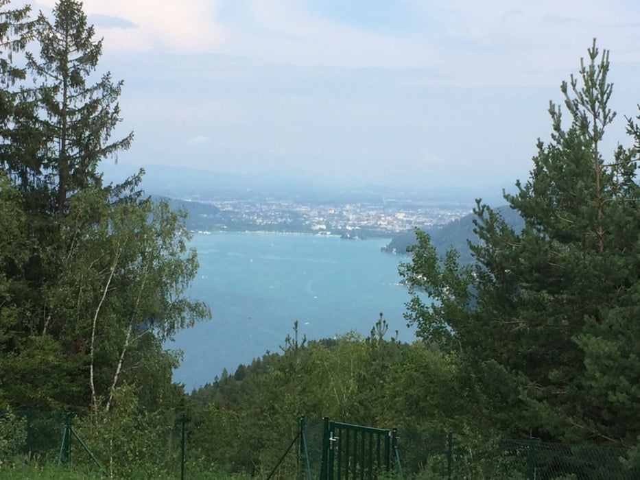
Das Gelände ist hügelig mit einigen steilen An- und Abstiegen (Seehöhen von 440 bis 851 m, ca. +/- 1800 Höhenmeter), die Route verläuft großteils in waldreichem Gebiet, wobei sich immer wieder herrliche Ausblicke auf den Wörthersee, die Wörthersee Region und auf die Karawanken bieten.
Von Europapark führt der Weg vorbei am Schloss Freyenthurn zur Zillhöhe (Aussichtspunkt auf 536 m) - Schloss Hornstein - Schloss Drasing - Pirk - Pirker Kogel (666 m) – Hoher Gaisrück – Bannwald – Forstsee – Römerschlucht – Velden – Weißes Ross – Trattnigteich – Pyramidenkogel (851 m) – Reifnitz – Spintik Teiche – Maiernigg Alpe – Klagenfurt.
Die Markierungen sind blau-weiß-blau. Es gibt laufend gelbe Wegweiser („Wörthersee Rundwanderweg“)
Tour gallery
Tour map and elevation profile
Minimum height 461 m
Maximum height 875 m
More about the tour author
|
|
harald07071 |
Comments
Ausganspunkt Europapark
Autobahn A2: Abfahrt Klagenfurt Wörthersee (Bei Start in Klagenfurt)
GPS tracks
Trackpoints-
GPX / Garmin Map Source (gpx) download
-
TCX / Garmin Training Center® (tcx) download
-
CRS / Garmin Training Center® (crs) download
-
Google Earth (kml) download
-
G7ToWin (g7t) download
-
TTQV (trk) download
-
Overlay (ovl) download
-
Fugawi (txt) download
-
Kompass (DAV) Track (tk) download
-
Track data sheet (pdf) download
-
Original file of the author (gpx) download
More about the tour author
|
|
harald07071 |
Add to my favorites
Remove from my favorites
Edit tags
Open track
My score
Rate
Tour Karte und Höhenprofil