
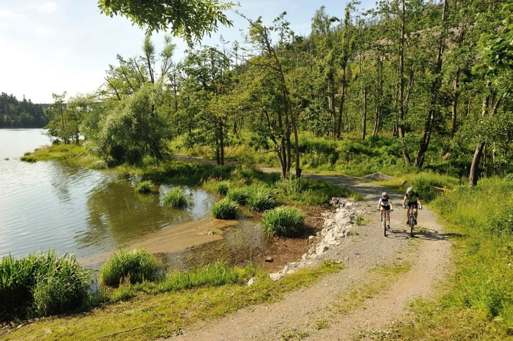

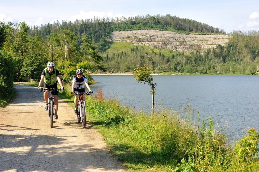
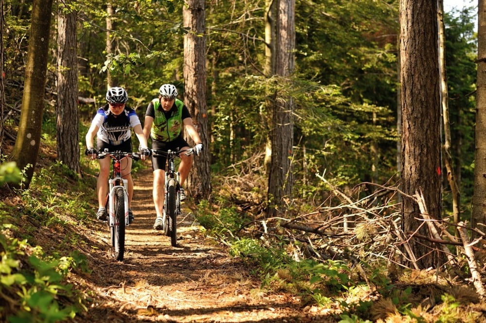
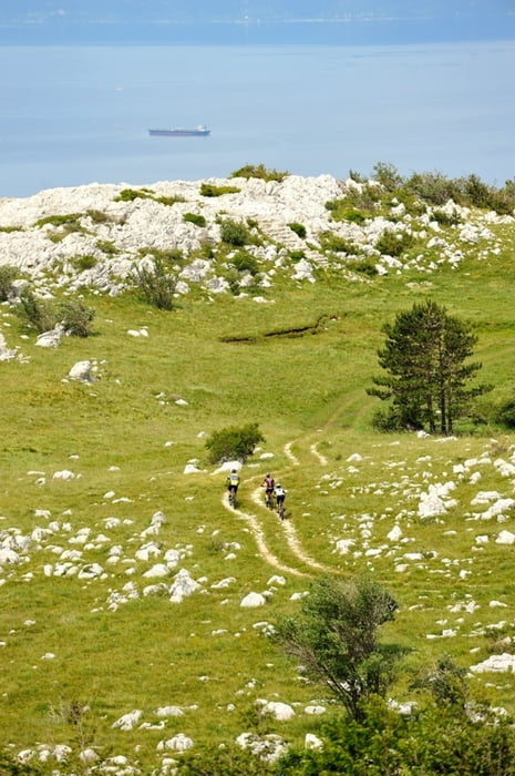
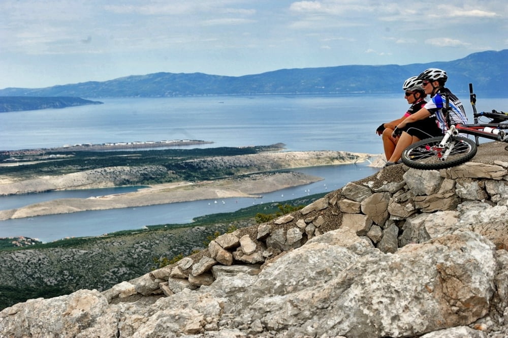
Staza koja će zadovoljiti i one najzahtjevnije brdske bicikliste i istovremeno ih fizički iscrpiti i napuniti pozitivnom energijom. Osvajanje prijevoja Velike Kapele na 1285 m/nm, spust okolo vrha Viševica te vožnja panoramskom cestom sa pogledima a na obalu i kvarnerske otoke nikoga neće ostaviti ravnodušnim. Povratak prema Fužinama započinje penjanjem po planinskim pašnjacima a ulazak u Gorski kotar prepoznat ćete po dijelu gdje se miješaju planinska i mediteranska vegetacija. Pri povratku u hotel Bitoraj, počastite se dobrim obrokom i uvjerite se zašto je hotel Bitoraj već godinama gastronomska meka.
This route will satisfy even the most demanding cyclists and will fill them with positive energy as it will exhaust them physically. They will conquest the Velika Kapela notch at 1285 meters above sea level, descend around the peak Viševica and ride down a panoramic road with the view of the coast and Kvarner islands which will leave everyone breathless. The return to Fužine starts with an ascent over mountain pastures, where half- wild horses graze. The entry into Gorski kotar is visible where mountain vegetation meets Mediterranean. After you return to Bitoraj Hotel, see for yourself why this hotel has been a gastronomic mecca for years.
http://www.bitoraj.hr
http://www.adriabike.hr
Tour gallery
Tour map and elevation profile
Minimum height 664 m
Maximum height 1288 m
More about the tour author
|
|
AdriaBikeHotels |
Comments

GPS tracks
Trackpoints-
GPX / Garmin Map Source (gpx) download
-
TCX / Garmin Training Center® (tcx) download
-
CRS / Garmin Training Center® (crs) download
-
Google Earth (kml) download
-
G7ToWin (g7t) download
-
TTQV (trk) download
-
Overlay (ovl) download
-
Fugawi (txt) download
-
Kompass (DAV) Track (tk) download
-
Track data sheet (pdf) download
-
Original file of the author (gpx) download
More about the tour author
|
|
AdriaBikeHotels |
Add to my favorites
Remove from my favorites
Edit tags
Open track
My score
Rate