
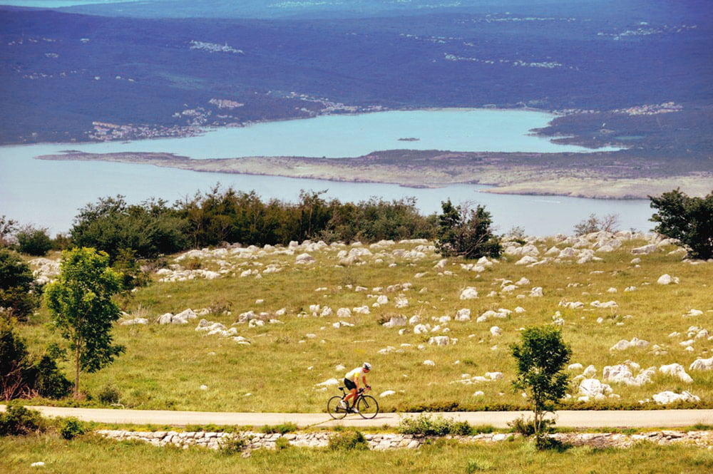

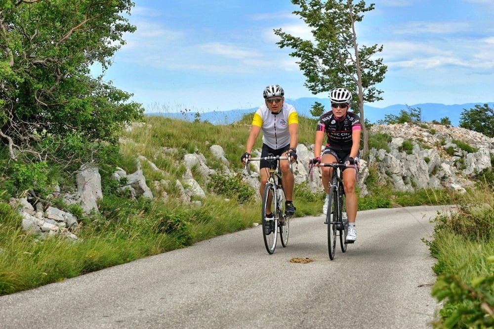
Ova ruta pokazat će vam pomalo od oba “svijeta” na ovoj lokaciji; početak i kraj su u planiniskoj klimi i vegetaciji sa dodirom Mediterana na polovici rute i predivnim pogledima na kvarnerske otoke. Ruta kreće iz Fužina i ide po staroj cesti Zagreb - Rijeka do Gornjeg Jelenja te se preko Oštrovice spušta u Hreljin. U Hreljinu kreće uspon preko mjesta Plase i Zlobina i završava predivnim dugačkim i strmim spustom u Fužine.
This route will show you the nest of both “worlds” of this location: it begins and ends in the mountain climate and vegetation with a touch of Mediterranean in the middle of the route, with breathtaking views of the Kvarner islands. The route starts at Fužine and follows the old state road Zagreb-Rijeka to Gornje Jelenje and it descends to Hreljin over Oštrovica. In Hreljin it ascends over the villages Plase and Zlobin and ends with
a wonderful long and steep descent to Fužine.
http://www.bitoraj.hr
http://www.adriabike.hr
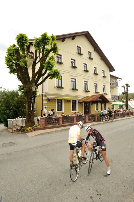
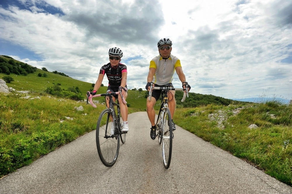
Tour gallery
Tour map and elevation profile
Minimum height 224 m
Maximum height 922 m
More about the tour author
|
|
AdriaBikeHotels |
Comments

GPS tracks
Trackpoints-
GPX / Garmin Map Source (gpx) download
-
TCX / Garmin Training Center® (tcx) download
-
CRS / Garmin Training Center® (crs) download
-
Google Earth (kml) download
-
G7ToWin (g7t) download
-
TTQV (trk) download
-
Overlay (ovl) download
-
Fugawi (txt) download
-
Kompass (DAV) Track (tk) download
-
Track data sheet (pdf) download
-
Original file of the author (gpx) download
More about the tour author
|
|
AdriaBikeHotels |
Add to my favorites
Remove from my favorites
Edit tags
Open track
My score
Rate