
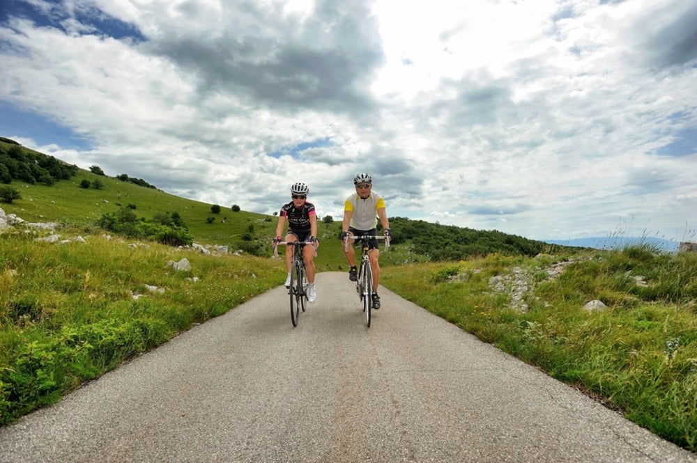

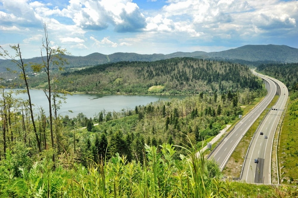
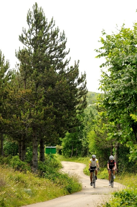
Krataka i prilično nezahtjevna staza koja prolazi kroz pored 2 goranska jezera i pored većeg broja zanimljivih točaka za razgledavanje. Kreće od hotela Bitoraj pored jezera Bajer prema Lovarskom jezeru i mjestu Lokve, nadaleko poznatom po svojem muzeju žaba. Nakon Lokvi svakako svratite i do Park šume Golubinjak koja je nedaleko od rute i put do nje je dobro označen. Ruta dalje ide preko Autoceste Rijeka Zagreb i nakon par uspona i spusteva dolazi do Fužina.
Short and fairly easy route which passes by two mountain lakes and a number of observation points. It starts at Bitoraj Hotel next to the Lake Bajer and moves towards Lake Lokve and the village of the same name, famous for its museum of frogs. After Lokve, we recommend you to visit the Park Forest Golubinjak which is not far from the route and easy to find with clearly marked signs. The route continues over the Zagreb-Rijeka highway and after a few ascents and descents reaches Fužine.
http://www.bitoraj.hr
http://www.adriabike.hr
Tour gallery
Tour map and elevation profile
Minimum height 713 m
Maximum height 922 m
More about the tour author
|
|
AdriaBikeHotels |
Comments

GPS tracks
Trackpoints-
GPX / Garmin Map Source (gpx) download
-
TCX / Garmin Training Center® (tcx) download
-
CRS / Garmin Training Center® (crs) download
-
Google Earth (kml) download
-
G7ToWin (g7t) download
-
TTQV (trk) download
-
Overlay (ovl) download
-
Fugawi (txt) download
-
Kompass (DAV) Track (tk) download
-
Track data sheet (pdf) download
-
Original file of the author (gpx) download
More about the tour author
|
|
AdriaBikeHotels |
Add to my favorites
Remove from my favorites
Edit tags
Open track
My score
Rate