
")

Mit der Seilbahnbahn auf die Furkelhütte (2170 m) aufgefahren.
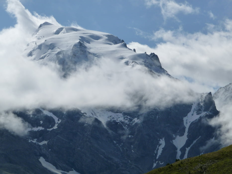
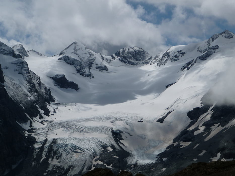
Von dort sind wir auf den Weg 20 über den Goldseeweg zum Stilfserjoch gegangen. Dabei hatt man einen sehr schönen Blick auf die Ortlergruppe bis rüber zum Ötztaler Alpen.
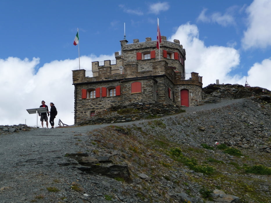
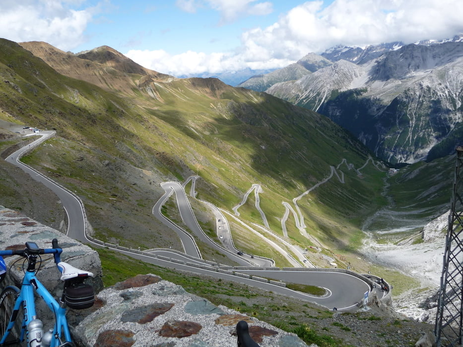
Wir sind auf's Stilfersjoch gelaufen und sind mit dem Linienbus nach Trafoi gefahren.
Further information at
http://www.trafoi.comTour gallery
Tour map and elevation profile
Minimum height 2113 m
Maximum height 2860 m
More about the tour author
|
|
wwwsi07de |
Comments

Über die Ortschaft Pradt in Richtung Stilfersjoch nach Trafoi gefahren. Dort unterhalb von der Seilbahn geparkt und mit der Seilbahn aufgefahren.
GPS tracks
Trackpoints-
GPX / Garmin Map Source (gpx) download
-
TCX / Garmin Training Center® (tcx) download
-
CRS / Garmin Training Center® (crs) download
-
Google Earth (kml) download
-
G7ToWin (g7t) download
-
TTQV (trk) download
-
Overlay (ovl) download
-
Fugawi (txt) download
-
Kompass (DAV) Track (tk) download
-
Track data sheet (pdf) download
-
Original file of the author (gpx) download
More about the tour author
|
|
wwwsi07de |
Add to my favorites
Remove from my favorites
Edit tags
Open track
My score
Rate