Login

Forgot your login?

Cookies have to be accepted!
Your browser's cookie functionality is disabled. Please enable this functionality.

Not a member yet?

Register now
Login

Available for registred users only

Log in to use this feature.

Forgot your login?

Cookies have to be accepted!
Your browser's cookie functionality is disabled. Please enable this functionality.

Not a member yet?

Register now
Filter
Categories
Advanced filters
  • Distance (km)
  • Height
Save filters Reset filter

TrackRank

QRCode

Technical data

Distance154,6 km Height1003 m Way down1405 m Duration07:39 h:m Date06.07.2014
Scores Author Landscape Fun factor Fitness Technique

Statistics

3338 Views Scores 175 Downloads Average
Rate
  • Track data sheet
  • Directions
  • Downloads
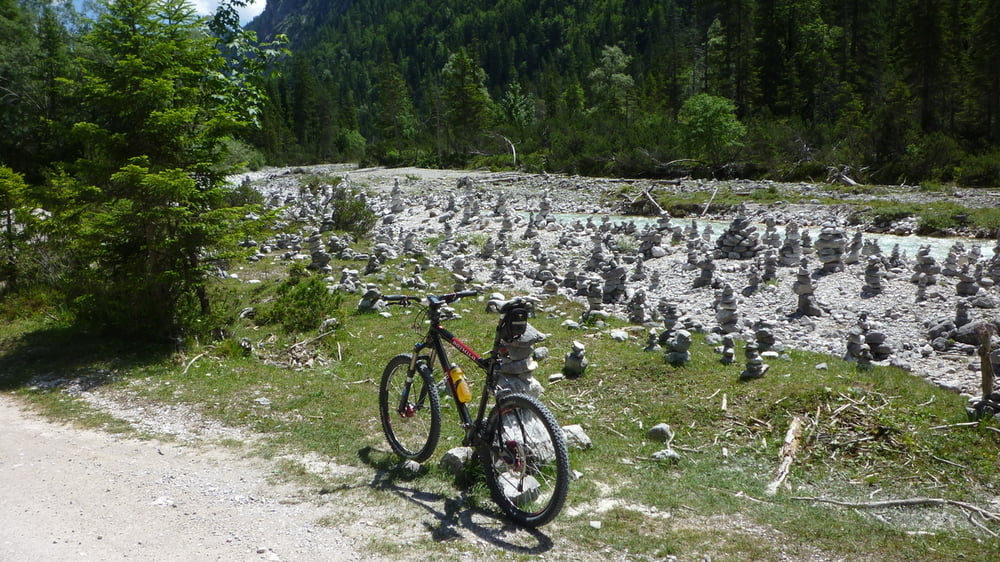
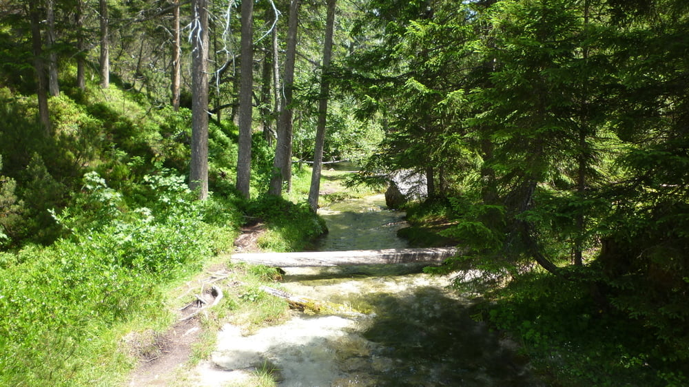
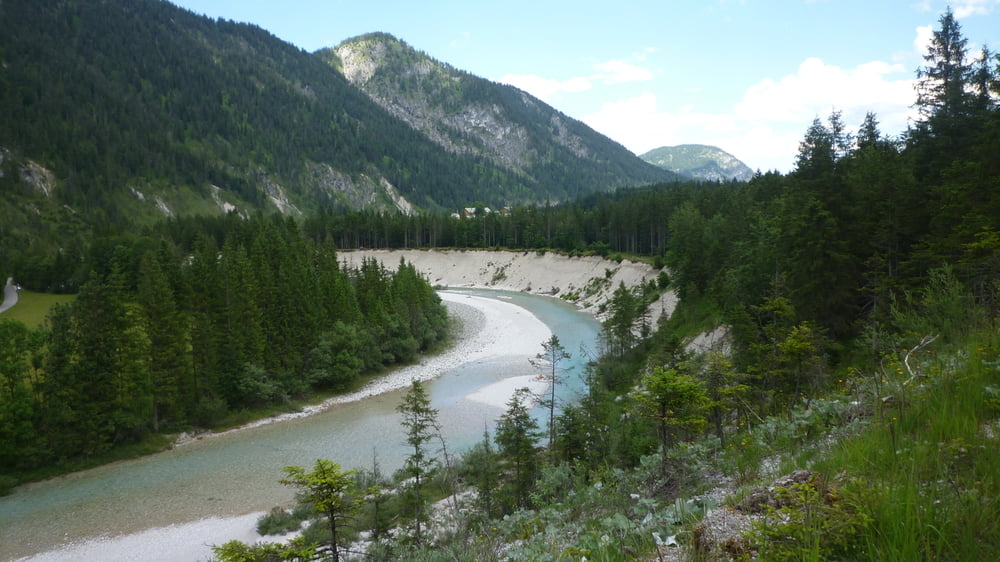
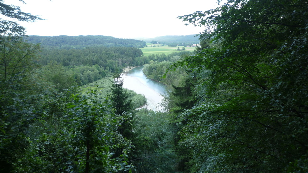
Von Scharnitz anfänglich steiler, später flacher über Schotterwege hinauf zum Isar Ursprung und bis zum Talende. Anschließend an der Isar entlang über Sylvensteinspeicher, Lengries, Bad Tölz und Geretsried zurück nach München.

Tour gallery

Tour map and elevation profile

  • Open Street Map
  • Google
Minimum height 549 m Maximum height 1219 m Detailed view

More about the tour author

Anonymous user

Comments

GPS tracks

Trackpoints
  • GPX / Garmin Map Source (gpx) download
  • TCX / Garmin Training Center® (tcx) download
  • CRS / Garmin Training Center® (crs) download
  • Google Earth (kml) download
  • G7ToWin (g7t) download
  • TTQV (trk) download
  • Overlay (ovl) download
  • Fugawi (txt) download
  • Kompass (DAV) Track (tk) download
  • Track data sheet (pdf) download
  • Original file of the author (tcx) download

More about the tour author

Anonymous user

Share track
Add to my favorites
Remove from my favorites
Edit tags
My score
Rate
Track: Von Scharnitz zum Isar Ursprung und zurück nach München
Type: Mountain bike
Distance: 154,6 km
Evaluated on:
Duration:
Day(s)
Hour(s)
Minute(s)
Score: Landscape Fun factor Fitness Technique