Login

Forgot your login?

Cookies have to be accepted!
Your browser's cookie functionality is disabled. Please enable this functionality.

Not a member yet?

Register now
Login

Available for registred users only

Log in to use this feature.

Forgot your login?

Cookies have to be accepted!
Your browser's cookie functionality is disabled. Please enable this functionality.

Not a member yet?

Register now
Filter
Categories
Advanced filters
  • Distance (km)
  • Height
Save filters Reset filter

TrackRank

QRCode

Technical data

Distance9,3 km Height284 m Way down282 m Duration04:00 h:m Date28.10.2014
Scores Author Landscape Fun factor Fitness Technique

Statistics

560 Views Scores 85 Downloads Average
Rate
  • Track data sheet
  • Directions
  • Downloads

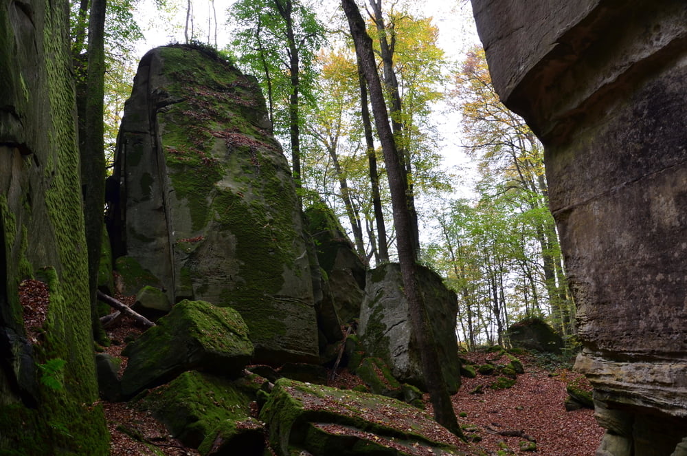
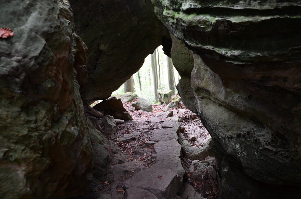
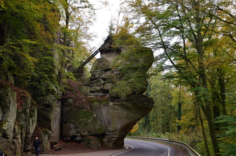
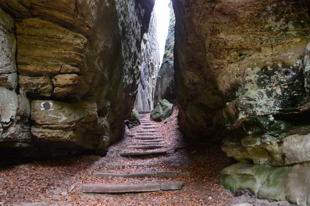
Verschillende wandelmogelijkheden.

Deze staat bij hun gecatologeerd als zwaar en je moet er ook wat conditie voor hebben.

Er zitten ook ontzettend veel trappen in deze wandeling.


Tour gallery

Tour map and elevation profile

  • Open Street Map
  • Google
Minimum height 287 m Maximum height 397 m Detailed view

More about the tour author

ikkel
Member since 2009

Send private message

Comments

zorg voor voldoende proviand


GPS tracks

Trackpoints
  • GPX / Garmin Map Source (gpx) download
  • TCX / Garmin Training Center® (tcx) download
  • CRS / Garmin Training Center® (crs) download
  • Google Earth (kml) download
  • G7ToWin (g7t) download
  • TTQV (trk) download
  • Overlay (ovl) download
  • Fugawi (txt) download
  • Kompass (DAV) Track (tk) download
  • Track data sheet (pdf) download
  • Original file of the author (gpx) download

More about the tour author

ikkel
Member since 2009

Send private message
Share track
Add to my favorites
Remove from my favorites
Edit tags
My score
Rate
Track: Het Müllerthal rond Berdorf
Type: Hiking
Distance: 9,3 km
Evaluated on:
Duration:
Day(s)
Hour(s)
Minute(s)
Score: Landscape Fun factor Fitness Technique