


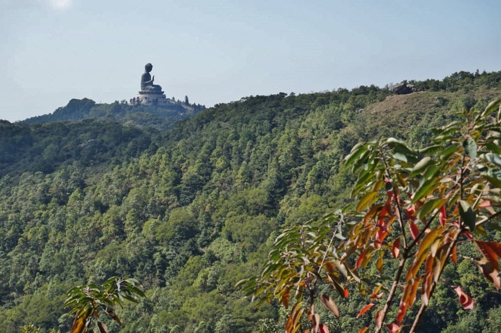
Extremely nice trail, starting at the Big Buddha on the Lantau Island in Hong Kong. There are many ways to get to the starting point: Bus 2 from Mui Wo (Silver mine bay), Bus 23 or 21 from the MTR, cable car from the same MTR. The tour could be dividede into two parts: the Lantau Peak and the Sunset peak. From / to the pass between the two peaks, you can get by the bus 3M (MTR-Silvermine).
We have made it on November 24, and it was very warm, so not earlier than the end of october!
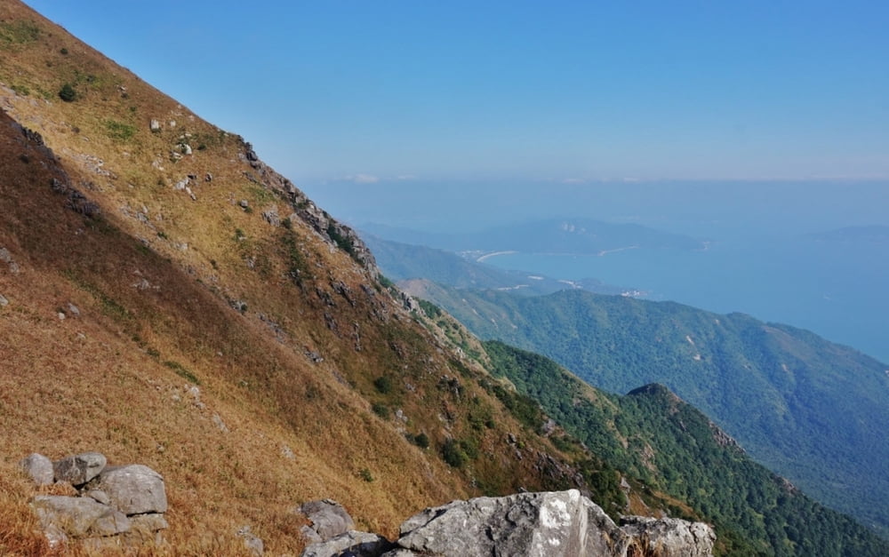
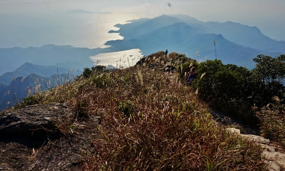
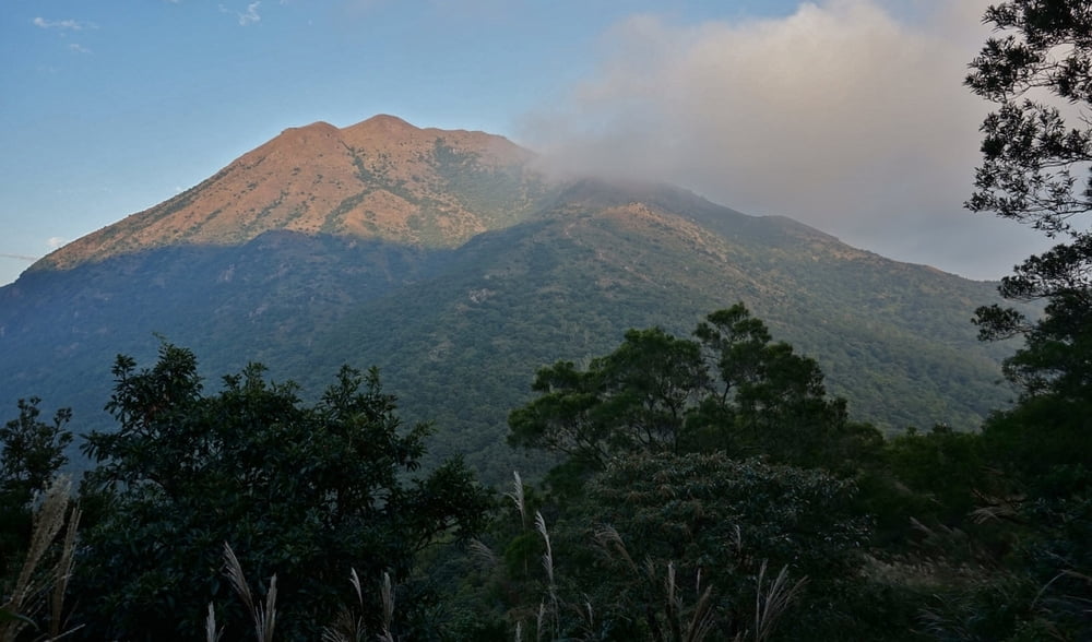
Tour gallery
Tour map and elevation profile
Minimum height 108 m
Maximum height 926 m
More about the tour author

|
py_dolfo |
Comments

GPS tracks
Trackpoints-
GPX / Garmin Map Source (gpx) download
-
TCX / Garmin Training Center® (tcx) download
-
CRS / Garmin Training Center® (crs) download
-
Google Earth (kml) download
-
G7ToWin (g7t) download
-
TTQV (trk) download
-
Overlay (ovl) download
-
Fugawi (txt) download
-
Kompass (DAV) Track (tk) download
-
Track data sheet (pdf) download
-
Original file of the author (gpx) download
More about the tour author
|
|
py_dolfo |
Add to my favorites
Remove from my favorites
Edit tags
Open track
My score
Rate