


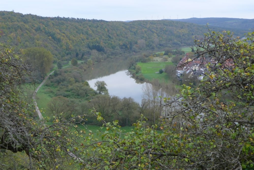
Leichter kleiner Rundweg durch die Weinberge von Kreuzwertheim mit sehr schöner Aussicht auf Wertheim mit Altstadt und Main.
Start am Sportplatz, über einen schmalen steilen Pfad Richtung Weinberg, dann unterhalb der Weinberge entlang. Richtung Kreuzwertheim bergauf und parallel zum Hinweg, nur weiter oben am Hang, wieder zurück. Zwischendurch immer wieder Aussichtsmöglichkeiten. Kurz vor Schluss der Wanderung erreicht man das Kaffelstein Denkmal.
Further information at
http://de.wikipedia.org/wiki/KreuzwertheimTour gallery
Tour map and elevation profile
Minimum height 150 m
Maximum height 252 m
More about the tour author

|
grenz-pfad-fahrer |
Comments

Parken am Sportplatz Kreuzwertheim.
GPS tracks
Trackpoints-
GPX / Garmin Map Source (gpx) download
-
TCX / Garmin Training Center® (tcx) download
-
CRS / Garmin Training Center® (crs) download
-
Google Earth (kml) download
-
G7ToWin (g7t) download
-
TTQV (trk) download
-
Overlay (ovl) download
-
Fugawi (txt) download
-
Kompass (DAV) Track (tk) download
-
Track data sheet (pdf) download
-
Original file of the author (gpx) download
More about the tour author
|
|
grenz-pfad-fahrer |
Add to my favorites
Remove from my favorites
Edit tags
Open track
My score
Rate