


Start unserer Wintertour ist am Friedhof in Ummeln. Im Uhrzeigersinn, also hinter Christinnenbrunnen, halten wir uns links und sind nach wenigen hundert Metern auf dem Hof der Ev. Stiftung Ummeln. Nach Überquerung des Lichtebaches, sind wir schnell in der Nähe der JVA Brackwede. Schon von weiten sehen wir die hohen Mauern des Hochsicherungstraktes. Über die Eisenstr. erreichen wir die Waldquellensiedlung und das Hammerholz. Nach einem kleinen Tümpel halten wir uns rechts, durch eine kleine Siedlung gehen wir links am Brackweder Freibad vorbei und gelangen so zur Lutterquelle. Zum Teil auf gleichem Wege führt uns der Weg zum Ausgangspunkt, bzw. zum Caffee zurück.
Gutes Schuhwerk ist Voraussetzung für diese Tour.
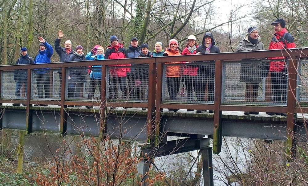
Tour gallery

Tour map and elevation profile
Minimum height 92 m
Maximum height 135 m
More about the tour author
|
|
radrolle48 |
Comments

GPS tracks
Trackpoints-
GPX / Garmin Map Source (gpx) download
-
TCX / Garmin Training Center® (tcx) download
-
CRS / Garmin Training Center® (crs) download
-
Google Earth (kml) download
-
G7ToWin (g7t) download
-
TTQV (trk) download
-
Overlay (ovl) download
-
Fugawi (txt) download
-
Kompass (DAV) Track (tk) download
-
Track data sheet (pdf) download
-
Original file of the author (gpx) download
More about the tour author
|
|
radrolle48 |
Add to my favorites
Remove from my favorites
Edit tags
Open track
My score
Rate