


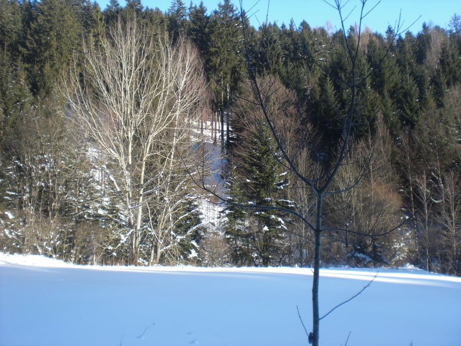
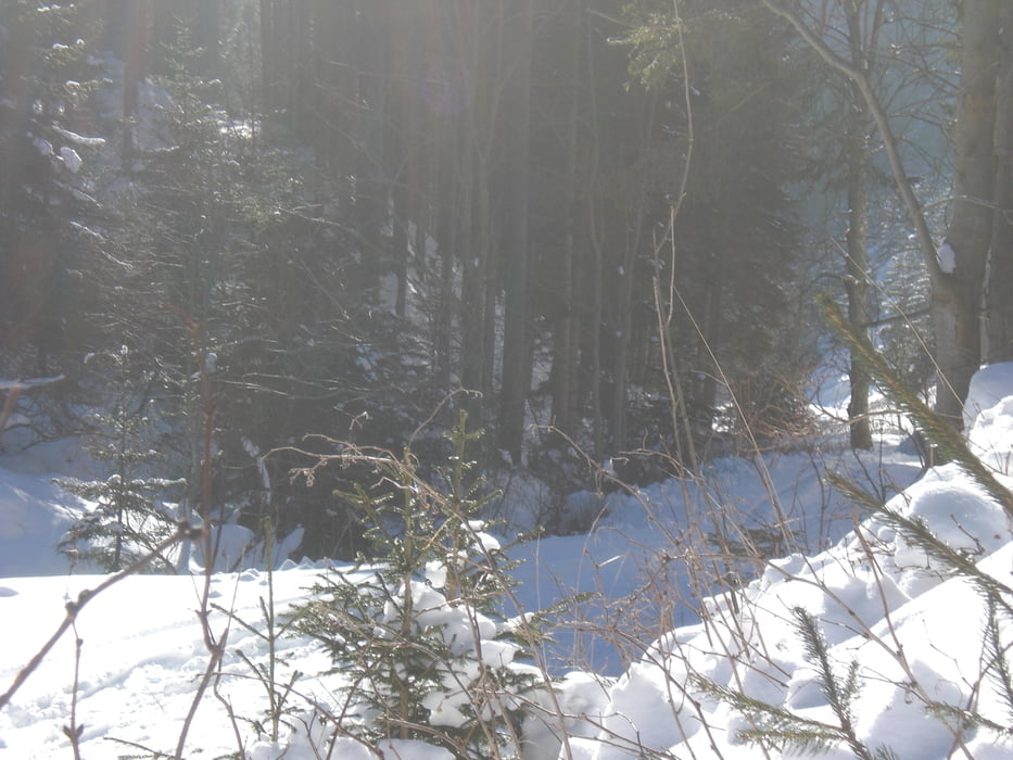
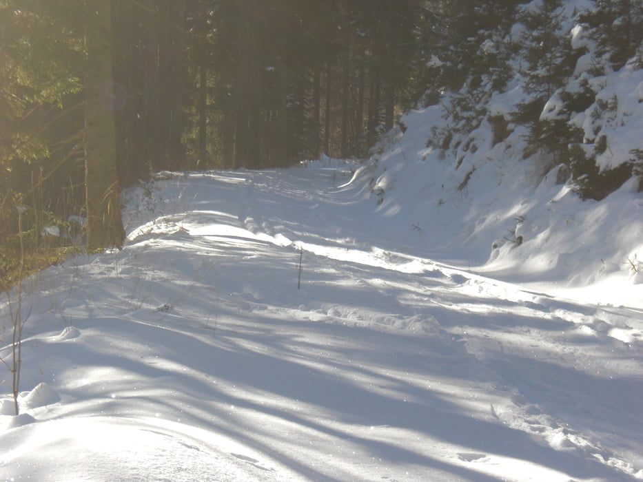
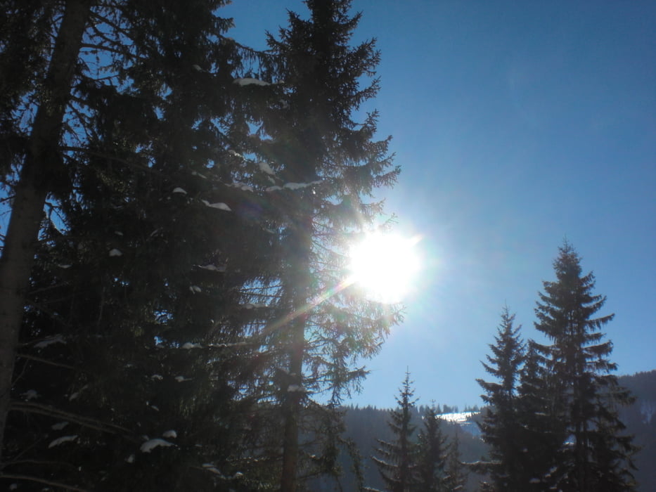
Die Tour führte vom Biotop Parkplatz über eine Kombination aus Schindelsteig und Almweg auf die Schwaig. Nach einer Rast in der tollen Hütte ging es über Forststraßen und Wasserfall Rundweg wieder zurück zum Auto. Die 5 Sterne beim Spaßfaktor sind für das traumhafte Wetter das an diesen Tag herrschte, Die Runde selbst war völlig problemlos und der wenige Schnee bremste weder Hund noch Herr.
Further information at
http://www.region-wechselland.at/system/web/default.aspx?sprache=1Tour gallery
Tour map and elevation profile
Minimum height 938 m
Maximum height 1360 m
More about the tour author
|
|
Yeti2333 |
Comments

über die S1 und A2 bis Abfahrt Edlitz Aspang und die B54, beim Kreisverkehr in Aspang Richtung Mariensee und bis zum Biotop Parkplatz nach der Ortschaft Mariensee.
GPS tracks
Trackpoints-
GPX / Garmin Map Source (gpx) download
-
TCX / Garmin Training Center® (tcx) download
-
CRS / Garmin Training Center® (crs) download
-
Google Earth (kml) download
-
G7ToWin (g7t) download
-
TTQV (trk) download
-
Overlay (ovl) download
-
Fugawi (txt) download
-
Kompass (DAV) Track (tk) download
-
Track data sheet (pdf) download
-
Original file of the author (gpx) download
More about the tour author
|
|
Yeti2333 |
Add to my favorites
Remove from my favorites
Edit tags
Open track
My score
Rate