Login

Forgot your login?

Cookies have to be accepted!
Your browser's cookie functionality is disabled. Please enable this functionality.

Not a member yet?

Register now
Login

Available for registred users only

Log in to use this feature.

Forgot your login?

Cookies have to be accepted!
Your browser's cookie functionality is disabled. Please enable this functionality.

Not a member yet?

Register now
Filter
Categories
Advanced filters
  • Distance (km)
  • Height
Save filters Reset filter

TrackRank

QRCode

Technical data

Distance45,9 km Height916 m Way down937 m Duration03:15 h:m Date30.03.2015
Scores Author Landscape Fun factor Fitness Technique

Statistics

193 Views Scores 40 Downloads Average
Rate
  • Track data sheet
  • Directions
  • Downloads
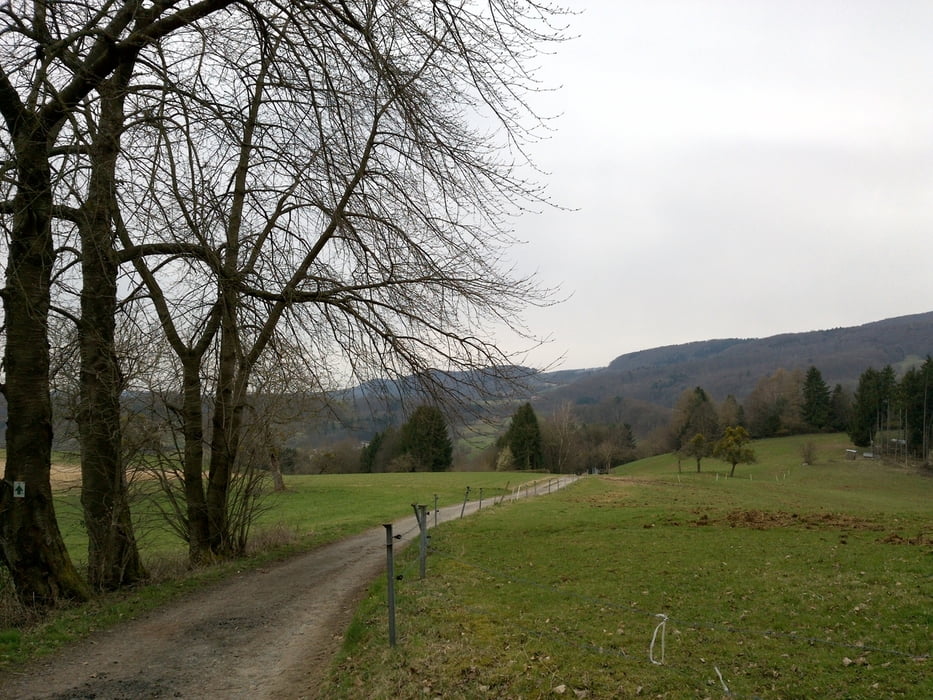
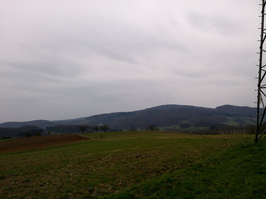
Tolle Rundtour mit sehr schönen Aussichten über Fürth dann Richtung Lindenfels und Neunkirchen sowie Gronau und zurück nach Heppenheim. Wege sind sehr gut befahrbar. 

Tour gallery

Tour map and elevation profile

  • Open Street Map
  • Google
Minimum height 79 m Maximum height 505 m Detailed view

More about the tour author

RobKo
Member since 2010

Send private message

Comments

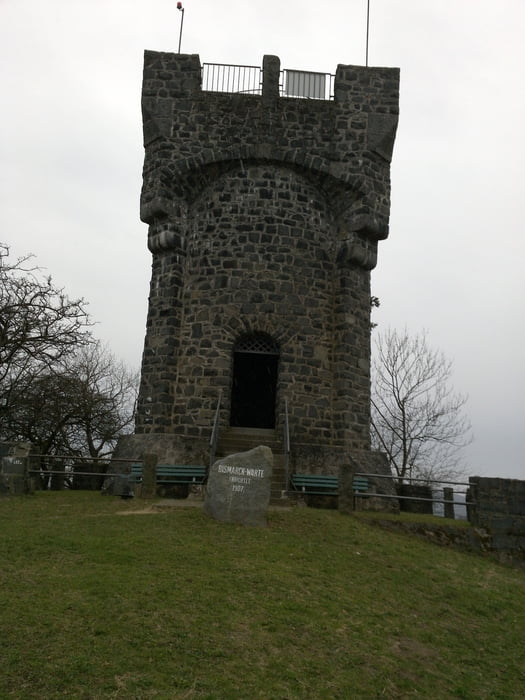
Start Heppenheim über Freilichtbühne

GPS tracks

Trackpoints
  • GPX / Garmin Map Source (gpx) download
  • TCX / Garmin Training Center® (tcx) download
  • CRS / Garmin Training Center® (crs) download
  • Google Earth (kml) download
  • G7ToWin (g7t) download
  • TTQV (trk) download
  • Overlay (ovl) download
  • Fugawi (txt) download
  • Kompass (DAV) Track (tk) download
  • Track data sheet (pdf) download
  • Original file of the author (gpx) download

More about the tour author

RobKo
Member since 2010

Send private message
Share track
Add to my favorites
Remove from my favorites
Edit tags
My score
Rate
Track: Rundtour über Fürth>Lindenfels>Neunkirchen>Gronau>Heppenheim
Type: Mountain bike
Distance: 45,9 km
Evaluated on:
Duration:
Day(s)
Hour(s)
Minute(s)
Score: Landscape Fun factor Fitness Technique