


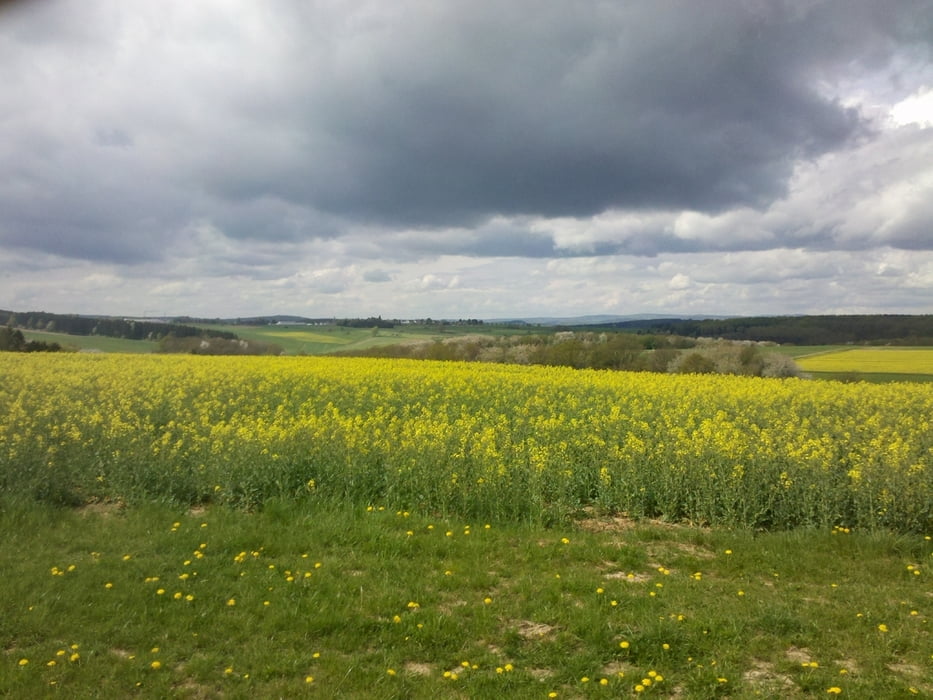
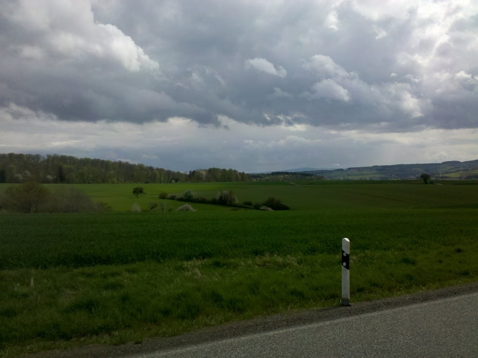
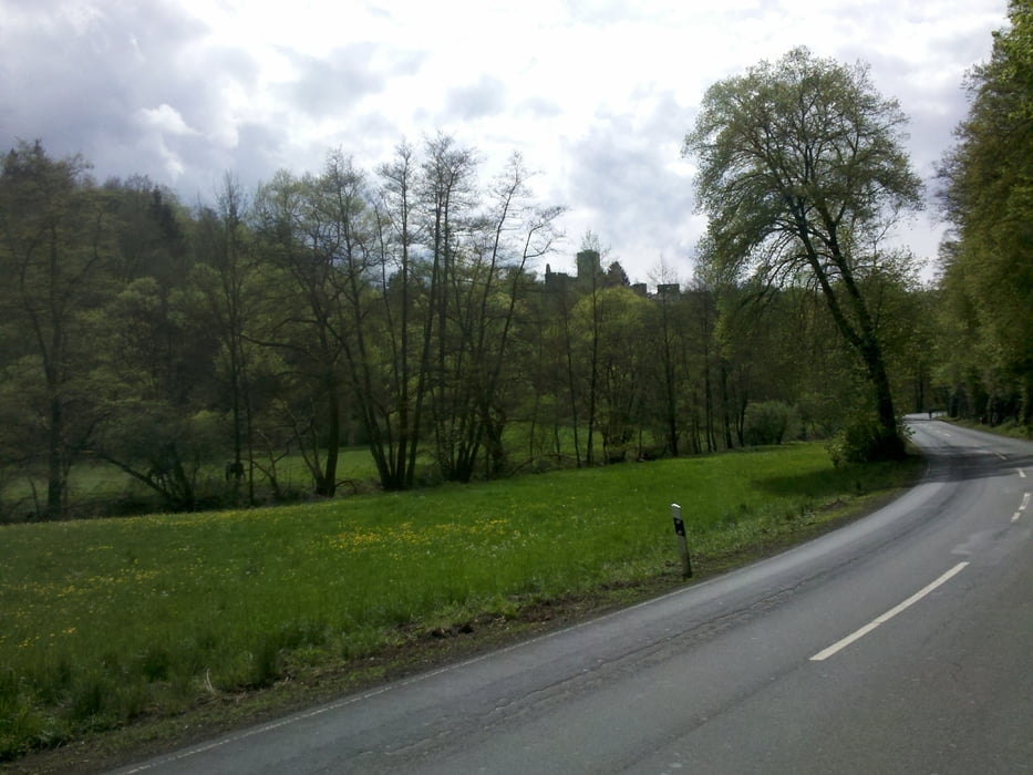
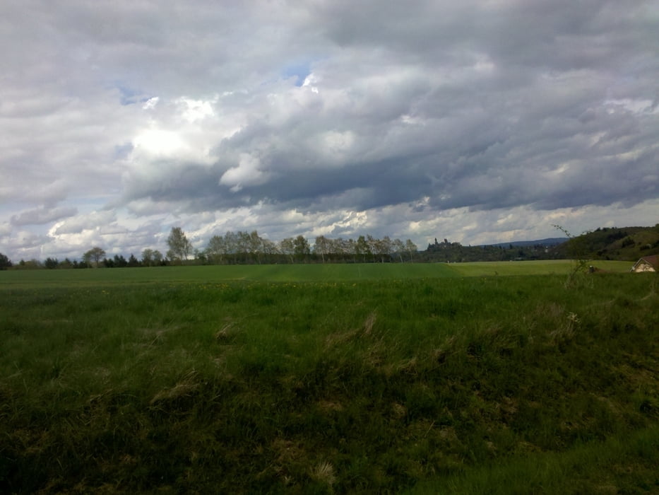
Eine Runde mit vielen Aussichten/Fernsichten (Westerwald, Feldberg in der Ferne kurz vor dem Weiltal, Vogelsberg) und Blick auf die Schlösser im Hintertaunus. Der Straßenbelag ist weitetestgehend sehr gut. Es werden ruhige Landstrassen gefahren. Achtung: Im Sommer kann es bei Gewitterneigung schon mal recht starkt schauern. Die Runde enthält ein paar längere Steigungen (0,5 bis 1 km mit durchschnittlich 5%) und ein paar tolle Abfahrten mit über 60 kmh möglich.
Viel Spass beim Fahren
Viel Spass beim Fahren
Tour gallery
Tour map and elevation profile
Minimum height 120 m
Maximum height 300 m
More about the tour author
|
|
schreiwo |
Comments

GPS tracks
Trackpoints-
GPX / Garmin Map Source (gpx) download
-
TCX / Garmin Training Center® (tcx) download
-
CRS / Garmin Training Center® (crs) download
-
Google Earth (kml) download
-
G7ToWin (g7t) download
-
TTQV (trk) download
-
Overlay (ovl) download
-
Fugawi (txt) download
-
Kompass (DAV) Track (tk) download
-
Track data sheet (pdf) download
-
Original file of the author (gpx) download
More about the tour author
|
|
schreiwo |
Add to my favorites
Remove from my favorites
Edit tags
Open track
My score
Rate