Login

Forgot your login?

Cookies have to be accepted!
Your browser's cookie functionality is disabled. Please enable this functionality.

Not a member yet?

Register now
Login

Available for registred users only

Log in to use this feature.

Forgot your login?

Cookies have to be accepted!
Your browser's cookie functionality is disabled. Please enable this functionality.

Not a member yet?

Register now
Filter
Categories
Advanced filters
  • Distance (km)
  • Height
Save filters Reset filter

TrackRank

QRCode

Technical data

Distance55,9 km Height2779 m Way down2750 m Duration04:20 h:m Date19.06.2015
Scores Author Landscape Fun factor Fitness Technique

Statistics

492 Views Scores 87 Downloads Average
Rate
  • Track data sheet
  • Directions
  • Downloads

Ajdovščina-Gorenje-Predmeja-Iztokov dom-Mali Golak (od Iztokovega doma do vrha ni vozno, zato se odpravimo peš)-Smrekova draga-Orlovski vrh-Sinji vrh-Col-Ajdovščina


Further information at
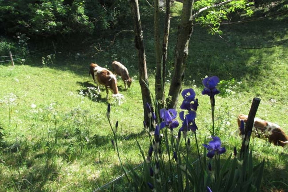
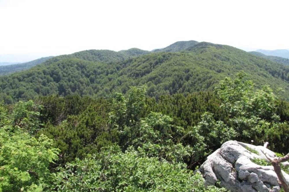
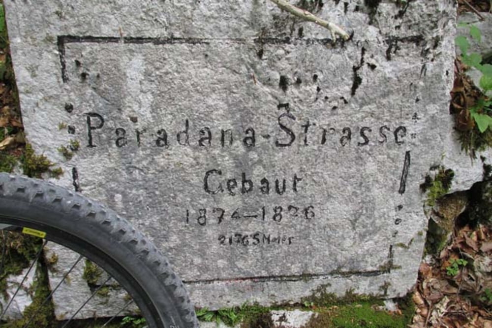
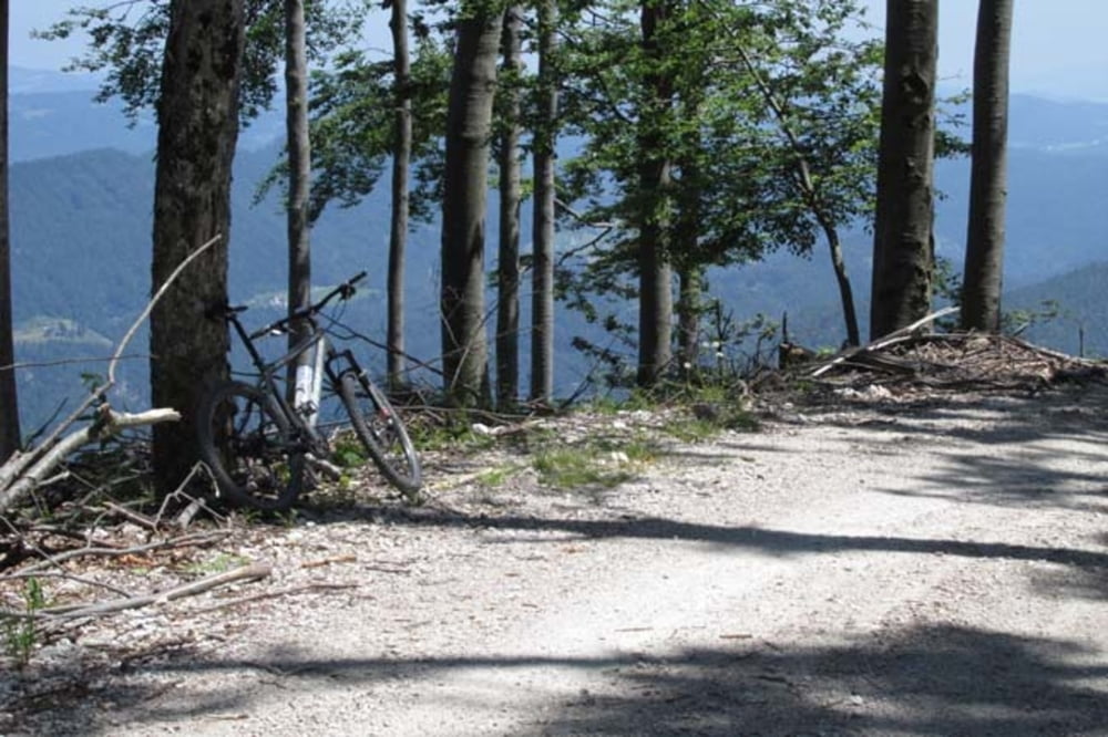
https://mtb-itd.si/poti/golaki

Tour gallery

Tour map and elevation profile

  • Open Street Map
  • Google
Minimum height 90 m Maximum height 1506 m Detailed view

More about the tour author

andrejno
Member since 2012

Send private message

Comments

GPS tracks

Trackpoints
  • GPX / Garmin Map Source (gpx) download
  • TCX / Garmin Training Center® (tcx) download
  • CRS / Garmin Training Center® (crs) download
  • Google Earth (kml) download
  • G7ToWin (g7t) download
  • TTQV (trk) download
  • Overlay (ovl) download
  • Fugawi (txt) download
  • Kompass (DAV) Track (tk) download
  • Track data sheet (pdf) download
  • Original file of the author (gpx) download

More about the tour author

andrejno
Member since 2012

Send private message
Share track
Add to my favorites
Remove from my favorites
Edit tags
My score
Rate
Track: Golaki
Type: Mountain bike
Distance: 55,9 km
Evaluated on:
Duration:
Day(s)
Hour(s)
Minute(s)
Score: Landscape Fun factor Fitness Technique