Login

Forgot your login?

Cookies have to be accepted!
Your browser's cookie functionality is disabled. Please enable this functionality.

Not a member yet?

Register now
Login

Available for registred users only

Log in to use this feature.

Forgot your login?

Cookies have to be accepted!
Your browser's cookie functionality is disabled. Please enable this functionality.

Not a member yet?

Register now
Filter
Categories
Advanced filters
  • Distance (km)
  • Height
Save filters Reset filter

TrackRank

QRCode

Technical data

Distance63,1 km Height3947 m Way down3993 m Duration04:05 h:m Date25.06.2015
Scores Author Landscape Fun factor Fitness Technique

Statistics

340 Views Scores 49 Downloads Average
Rate
  • Track data sheet
  • Directions
  • Downloads

Luče-Robanov kot-Solčava-Klobaša-Jankar-Osojnik-Bukovnik-Grohot-Podolševa-Sv.duh-Pavličevo sedlo-Matkov kot-Logarska dolina-Solčava-Robanov kot-Luče


Further information at

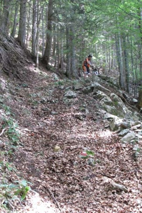
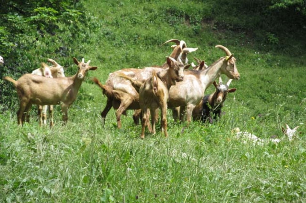
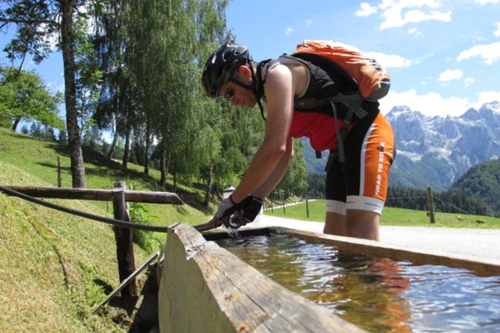
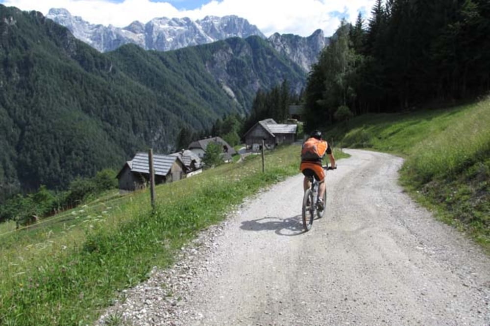
https://mtb-itd.si/poti/grohat_in_pavlicevo_sedlo

Tour gallery

Tour map and elevation profile

  • Open Street Map
  • Google
Minimum height 322 m Maximum height 1553 m Detailed view

More about the tour author

andrejno
Member since 2012

Send private message

Comments

GPS tracks

Trackpoints
  • GPX / Garmin Map Source (gpx) download
  • TCX / Garmin Training Center® (tcx) download
  • CRS / Garmin Training Center® (crs) download
  • Google Earth (kml) download
  • G7ToWin (g7t) download
  • TTQV (trk) download
  • Overlay (ovl) download
  • Fugawi (txt) download
  • Kompass (DAV) Track (tk) download
  • Track data sheet (pdf) download
  • Original file of the author (gpx) download

More about the tour author

andrejno
Member since 2012

Send private message
Share track
Add to my favorites
Remove from my favorites
Edit tags
My score
Rate
Track: Grohat in Pavličevo sedlo
Type: Mountain bike
Distance: 63,1 km
Evaluated on:
Duration:
Day(s)
Hour(s)
Minute(s)
Score: Landscape Fun factor Fitness Technique