
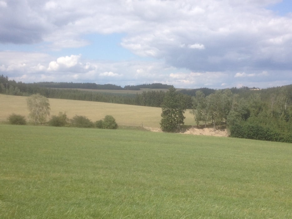

Gestartet in Schilbach, auf Wald und Forstwegen bis Km 20 recht ruhig und einfach zu fahren.
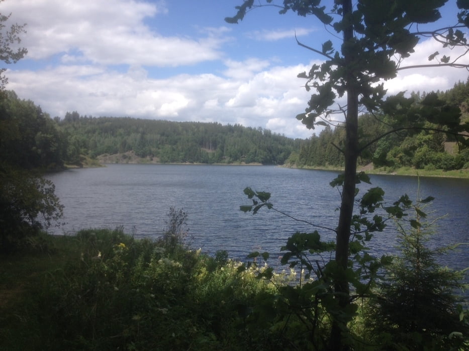
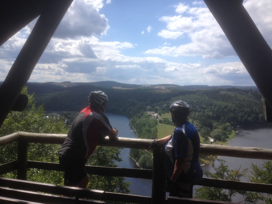
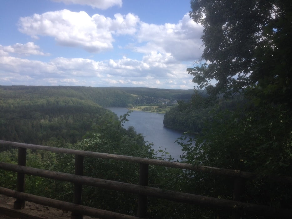
Hinter Künsdorf dann Richtung Bleiloch Talsperre dann schwerer, auch Trail`s. Im Bereich Marienstein (Saaldorf) bis Heinrichstein schon schwerer auf Trails. Weiter über den Internationalen Bergwanderweg über Zopoten nach Saalburg, weiter Richtung Märchenwald in die Künsdorfer Bucht über die Eichleite nach Wernsdorf. Über Wiesenwege zurück nach Schilbach.
In Saaldorf und Saalburg Einkehren möglich.
In der Nähe vom Startpunkt eine Gaststätte "KAPELLE" an der B2 Industriegebiet Tanna.
Tour gallery
Tour map and elevation profile
Minimum height 415 m
Maximum height 617 m
More about the tour author
|
|
TKOetzi |
Comments

GPS tracks
Trackpoints-
GPX / Garmin Map Source (gpx) download
-
TCX / Garmin Training Center® (tcx) download
-
CRS / Garmin Training Center® (crs) download
-
Google Earth (kml) download
-
G7ToWin (g7t) download
-
TTQV (trk) download
-
Overlay (ovl) download
-
Fugawi (txt) download
-
Kompass (DAV) Track (tk) download
-
Track data sheet (pdf) download
-
Original file of the author (gpx) download
More about the tour author
|
|
TKOetzi |
Add to my favorites
Remove from my favorites
Edit tags
Open track
My score
Rate