


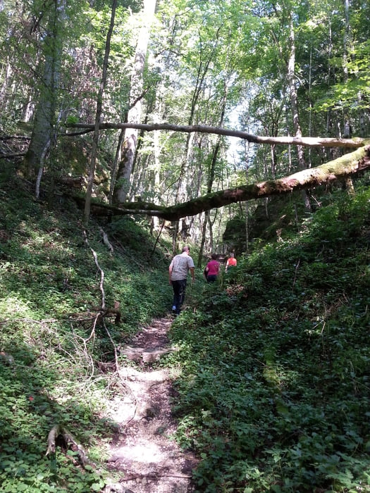
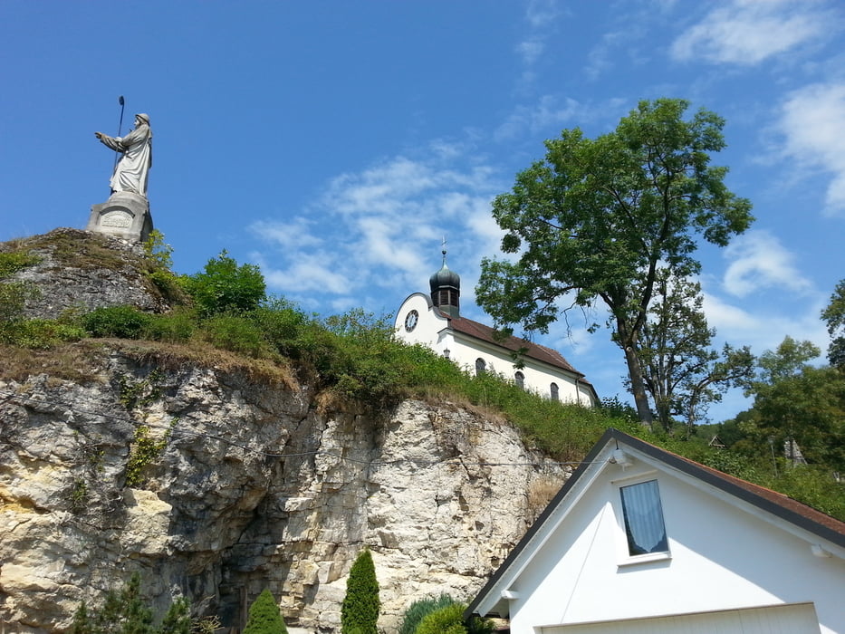
Start ist in Schelklingen-Hütten am Parkplatz vom Biosphären Museum.An der Gaststätte Bären vorbei, auf der Landstraße, am Ende des Dorfes links in den Wald. Schild Schlossbergtour folgen. Durch das romantische,enge Tal,vorbei an der Bärenhöhle, immer weiter bis man zu einer Schutzhütte kommt. Den Weg rechts, und nach wenigen Metern wieder rechts auf einen Pfad bis man zur Schlossruine kommt. An der Ruine geht es dann wieder runter,schöne Aussicht unterwegs, nach Hütten.
Tour gallery
Tour map and elevation profile
Minimum height 177 m
Maximum height 758 m
More about the tour author
|
|
Voitl-Fan |
Comments

GPS tracks
Trackpoints-
GPX / Garmin Map Source (gpx) download
-
TCX / Garmin Training Center® (tcx) download
-
CRS / Garmin Training Center® (crs) download
-
Google Earth (kml) download
-
G7ToWin (g7t) download
-
TTQV (trk) download
-
Overlay (ovl) download
-
Fugawi (txt) download
-
Kompass (DAV) Track (tk) download
-
Track data sheet (pdf) download
-
Original file of the author (gpx) download
More about the tour author
|
|
Voitl-Fan |
Add to my favorites
Remove from my favorites
Edit tags
Open track
My score
Rate