
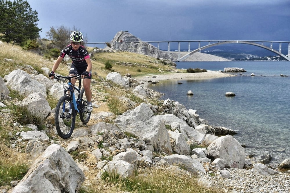

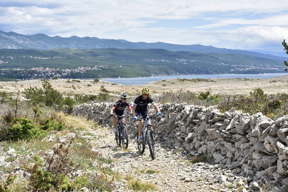
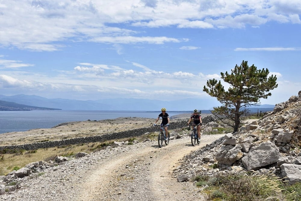
Lijepa MTB ruta koja prolazi zaleđem Malinske s nekoliko zanimljivih singletrailova koji ruti daju dodatnu atraktivnost. Premda naizgled skromne visinske razlike, ova ruta zadovoljit će sve aktivne brdske bicikliste. Nakon starta u Njivicama ruta prolazi kroz mala autohtona sela te se nakon toga strmo spušta prema Glavotoku i morskoj obali. Povratak je uz samu morsku obalu preko Porata i Malinske nazad do Njivica.
A nice MTB route which goes through Malinska hinterland with a few interesting single trails which add to its attractiveness. Although it does not offer great altitude differences, it will satisfy all active mountain bikers. After the start in Njivice it passes through small autochthonous villages and afterwards steeply lowers towards Glavotok and seaside. You return along the very seaside through Porat and Malinska back to Njivice.
www.adriabike.hr
www.njiviceresort.com
Tour gallery
Tour map and elevation profile
Minimum height 25 m
Maximum height 53 m
More about the tour author
|
|
AdriaBikeHotels |
Comments

GPS tracks
Trackpoints-
GPX / Garmin Map Source (gpx) download
-
TCX / Garmin Training Center® (tcx) download
-
CRS / Garmin Training Center® (crs) download
-
Google Earth (kml) download
-
G7ToWin (g7t) download
-
TTQV (trk) download
-
Overlay (ovl) download
-
Fugawi (txt) download
-
Kompass (DAV) Track (tk) download
-
Track data sheet (pdf) download
-
Original file of the author (gpx) download
More about the tour author
|
|
AdriaBikeHotels |
Add to my favorites
Remove from my favorites
Edit tags
Open track
My score
Rate