
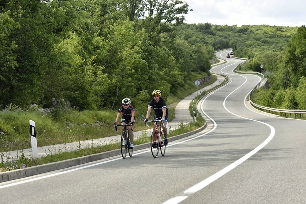

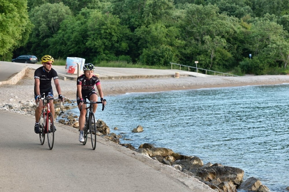
Zanimljiva ruta koja nas s otoka Krka vodi na obližnji otok Cres do istoimenog grada Cresa. Ruta većinom ide po glavnoj prometnici i po otoku Krku i po otoku Cresu pa stoga treba očekivati nešto veći promet nego na drugim rutama, no atraktivnost je zajamčena. Ova ruta, za razliku od ostalih, nije kružna no nudi putovanje trajektom i vožnju po dva kvarnerska otoka. Prije polaska svakako provjerite vozni red trajekata kao i cijenu karte (karta za bicikl naplaćuje se posebno).
An interesting route which from the island of Krk leads us to the island of Cres and the town of the same name. It mostly follows on the main roadway on the island of Krk as well as Cres and therefore you should expect somewhat denser traffic, but the enjoyment is guaranteed. Unlike other routes, this route is not circular but offers a ferry ride and the ride on two Kvarner islands. Before start be sure to check the timetable of the ferries as well as the ticket price (bikes are charged separately).
www.adriabike.hr
www.njiviceresort.com
Tour gallery
Tour map and elevation profile
Minimum height 1 m
Maximum height 324 m
More about the tour author
|
|
AdriaBikeHotels |
Comments

GPS tracks
Trackpoints-
GPX / Garmin Map Source (gpx) download
-
TCX / Garmin Training Center® (tcx) download
-
CRS / Garmin Training Center® (crs) download
-
Google Earth (kml) download
-
G7ToWin (g7t) download
-
TTQV (trk) download
-
Overlay (ovl) download
-
Fugawi (txt) download
-
Kompass (DAV) Track (tk) download
-
Track data sheet (pdf) download
-
Original file of the author (gpx) download
More about the tour author
|
|
AdriaBikeHotels |
Add to my favorites
Remove from my favorites
Edit tags
Open track
My score
Rate