
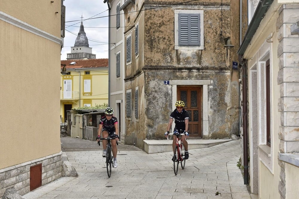

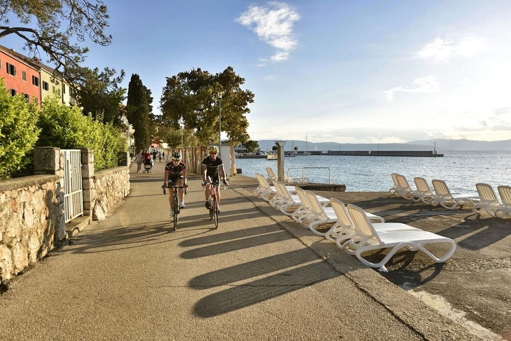
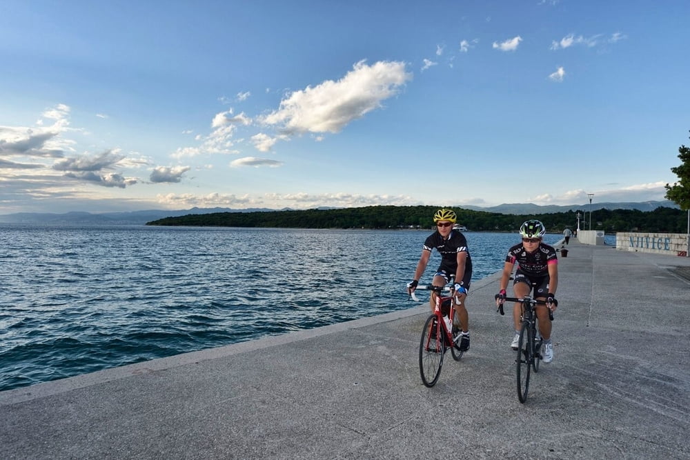
Ova staza provest će vas sa zapadne na istočnu obalu otoka te potom sve do juga i mjesta koje nosi isto ime kao i otok, Krk. Na istočnoj obali svakako posjetite gradić Vrbnik nadaleko poznat po Vrbničkoj žlahtini, jedinoj autohtonoj vinskoj sorti otoka. Grad Krk također vrijedi posjetiti i osvježiti se u nekom od mnogobrojnih krčkih kafića. Povratak je sporednim cestama prema Malinskoj i dalje prema Njivicama.
This route will take you from the west to the east coast of the island and all to the south with the town which bears the same name as the island – Krk. On the east coast be sure to visit a small town Vrbnik widely renowned for Vrbnička žlahtina, an autochthonous wine variety. The town Krk is also worth a visit and you can refresh in one of the numerous cafés. You return on minor roads to Malinska and further to Njivice.
www.adriabike.hr
www.njiviceresort.com
Tour gallery
Tour map and elevation profile
Minimum height 1 m
Maximum height 265 m
More about the tour author
|
|
AdriaBikeHotels |
Comments

GPS tracks
Trackpoints-
GPX / Garmin Map Source (gpx) download
-
TCX / Garmin Training Center® (tcx) download
-
CRS / Garmin Training Center® (crs) download
-
Google Earth (kml) download
-
G7ToWin (g7t) download
-
TTQV (trk) download
-
Overlay (ovl) download
-
Fugawi (txt) download
-
Kompass (DAV) Track (tk) download
-
Track data sheet (pdf) download
-
Original file of the author (gpx) download
More about the tour author
|
|
AdriaBikeHotels |
Add to my favorites
Remove from my favorites
Edit tags
Open track
My score
Rate