Login

Forgot your login?

Cookies have to be accepted!
Your browser's cookie functionality is disabled. Please enable this functionality.

Not a member yet?

Register now
Login

Available for registred users only

Log in to use this feature.

Forgot your login?

Cookies have to be accepted!
Your browser's cookie functionality is disabled. Please enable this functionality.

Not a member yet?

Register now
Filter
Categories
Advanced filters
  • Distance (km)
  • Height
Save filters Reset filter

TrackRank

QRCode

Technical data

Distance49,4 km Height2483 m Way down2520 m Duration04:00 h:m Date29.08.2015
Scores Author Landscape Fun factor Fitness Technique

Statistics

388 Views Scores 42 Downloads Average
Rate
  • Track data sheet
  • Directions
  • Downloads

Krašnja-Vrh nad Krašnjo-Gabrovnica-Veliki Rakitovec-Češnjice-Gabrje-Poljane nad Blagovico-Selce-Gabrje pod Špilkom-Špilk-Trojane-V Zideh-Polšina-Orehovica-Kolovrat-Medija-Borje pri Mlinšah-Golčaj-Limbarska gora-Krašnja


Further information at

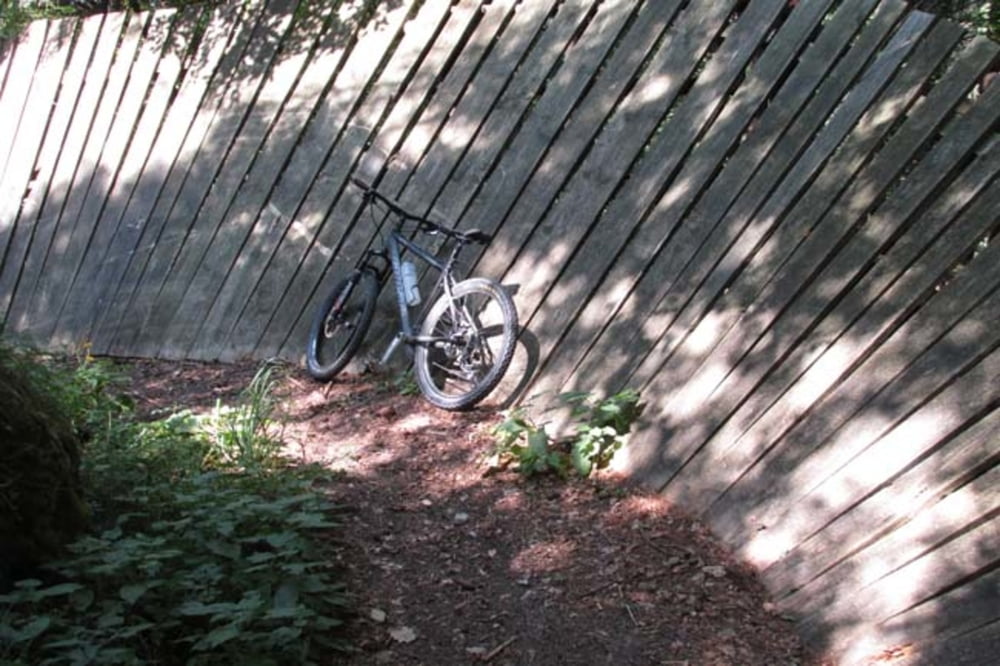
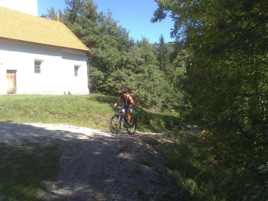
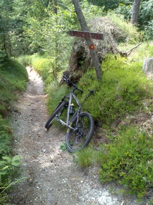
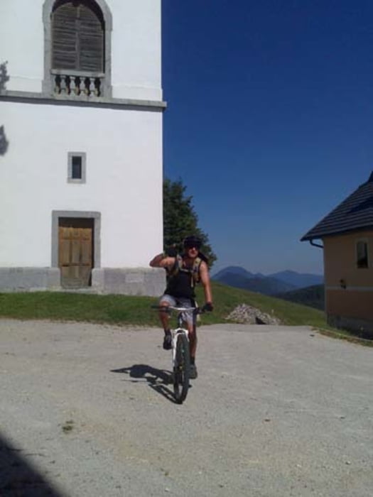
https://mtb-itd.si/poti/spilk_in_limbarska

Tour gallery

Tour map and elevation profile

  • Open Street Map
  • Google
Minimum height 332 m Maximum height 962 m Detailed view

More about the tour author

andrejno
Member since 2012

Send private message

Comments

GPS tracks

Trackpoints
  • GPX / Garmin Map Source (gpx) download
  • TCX / Garmin Training Center® (tcx) download
  • CRS / Garmin Training Center® (crs) download
  • Google Earth (kml) download
  • G7ToWin (g7t) download
  • TTQV (trk) download
  • Overlay (ovl) download
  • Fugawi (txt) download
  • Kompass (DAV) Track (tk) download
  • Track data sheet (pdf) download
  • Original file of the author (gpx) download

More about the tour author

andrejno
Member since 2012

Send private message
Share track
Add to my favorites
Remove from my favorites
Edit tags
My score
Rate
Track: Limbarska gora
Type: Mountain bike
Distance: 49,4 km
Evaluated on:
Duration:
Day(s)
Hour(s)
Minute(s)
Score: Landscape Fun factor Fitness Technique