


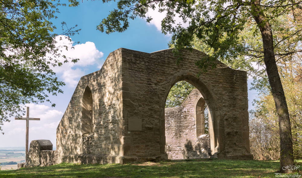
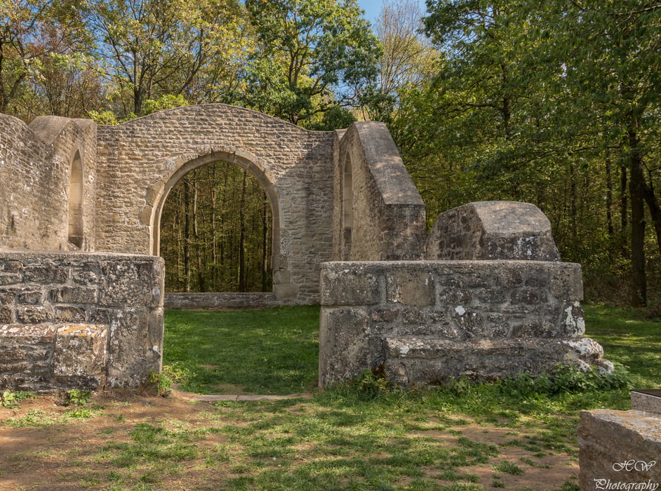
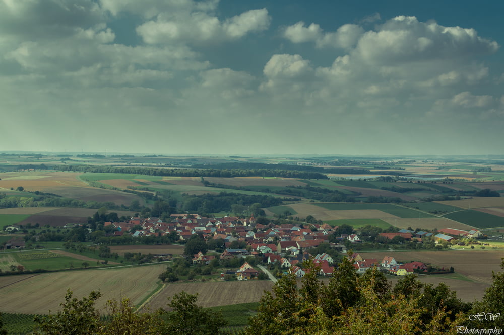
Die Tour führt uns von Nenzenheim über Wald- und Wiesenwege als erstes zum Andreas-Därr-Turm (offen Sonn-und Feiertags ab 13.00 Uhr).Weiter geht es auf dem Kunigundenweg Richtung Ruine Hinterfrankenberg.Von dort geht es zur Aussichtsreichen Ruine der Kunigundenkapelle.Ein Ww. führt uns zu einem weiteren Aussichtsturm auf dem Kapellenberg (geöffnet Sonn-und Feirtage ab 13.00 Uhr).Von dort geht es zurück nach Nennzenheim.
Tour gallery
Tour map and elevation profile
Minimum height 303 m
Maximum height 499 m
More about the tour author
|
|
moon1974 |
Comments

Nenzenheim südlich von Iphofen gelegen zu erreichen über die B8 Markt Einersheim oder vom 1.5-2.11. Sonn-und Feiertags sowie Samstags vom 1.6-31.8 mehrmals täglich mit dem Boxbeutelexpress des VGN.Anmeldung unter 09841/66060
GPS tracks
Trackpoints-
GPX / Garmin Map Source (gpx) download
-
TCX / Garmin Training Center® (tcx) download
-
CRS / Garmin Training Center® (crs) download
-
Google Earth (kml) download
-
G7ToWin (g7t) download
-
TTQV (trk) download
-
Overlay (ovl) download
-
Fugawi (txt) download
-
Kompass (DAV) Track (tk) download
-
Track data sheet (pdf) download
-
Original file of the author (gpx) download
More about the tour author
|
|
moon1974 |
Add to my favorites
Remove from my favorites
Edit tags
Open track
My score
Rate