Login

Forgot your login?

Cookies have to be accepted!
Your browser's cookie functionality is disabled. Please enable this functionality.

Not a member yet?

Register now
Login

Available for registred users only

Log in to use this feature.

Forgot your login?

Cookies have to be accepted!
Your browser's cookie functionality is disabled. Please enable this functionality.

Not a member yet?

Register now
Filter
Categories
Advanced filters
  • Distance (km)
  • Height
Save filters Reset filter

TrackRank

QRCode

Technical data

Distance2,7 km Height138 m Way down173 m Duration00:50 h:m Date29.11.2015
Scores Author Landscape Fun factor Fitness Technique

Statistics

170 Views Scores 16 Downloads Average
Rate
  • Track data sheet
  • Directions
  • Downloads
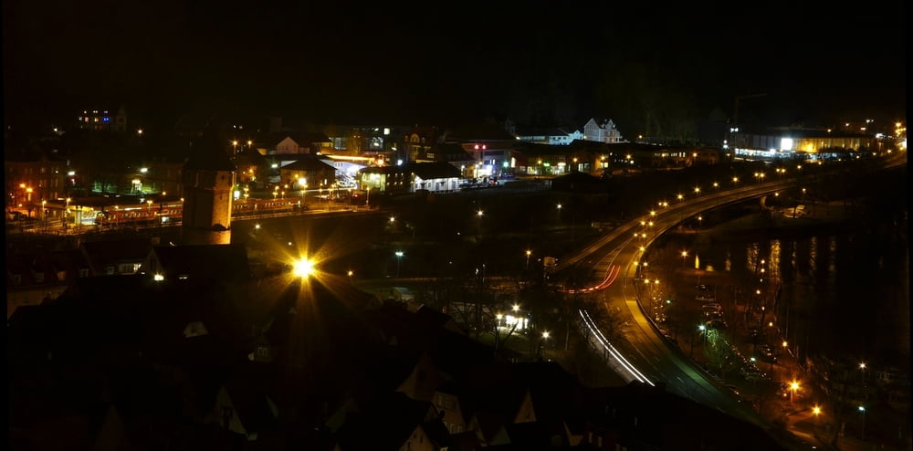
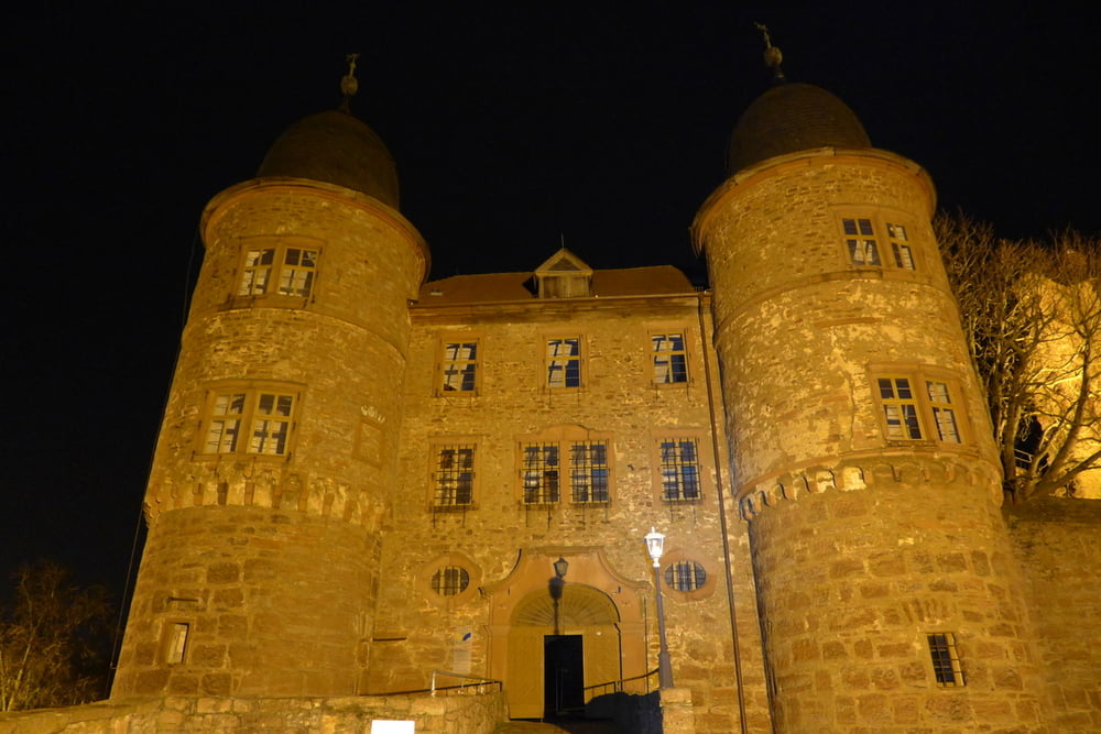
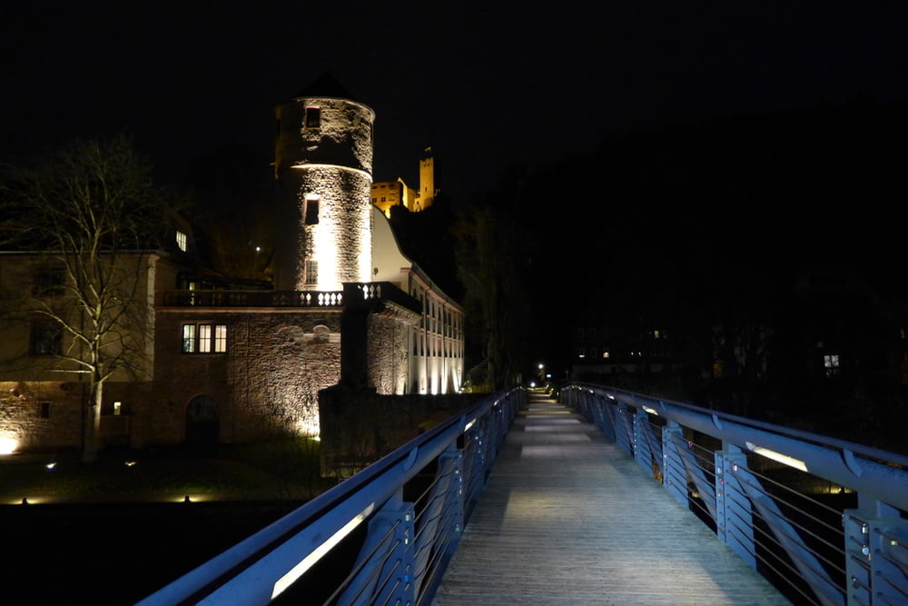
Kurze Rundtour um die Wertheimer Burg, mit schönem Ausblick auf die Stadt. Asphalt, Waldwege und Pfade.

Further information at

https://de.wikipedia.org/wiki/Burg_Wertheim

Tour gallery

Tour map and elevation profile

  • Open Street Map
  • Google
Minimum height 114 m Maximum height 272 m Detailed view

More about the tour author

grenz-pfad-fahrer
Member since 2009

Send private message

Comments

Parkplatz an der Tauber: "Untere Leberklinge"


GPS tracks

Trackpoints
  • GPX / Garmin Map Source (gpx) download
  • TCX / Garmin Training Center® (tcx) download
  • CRS / Garmin Training Center® (crs) download
  • Google Earth (kml) download
  • G7ToWin (g7t) download
  • TTQV (trk) download
  • Overlay (ovl) download
  • Fugawi (txt) download
  • Kompass (DAV) Track (tk) download
  • Track data sheet (pdf) download
  • Original file of the author (gpx) download

More about the tour author

grenz-pfad-fahrer
Member since 2009

Send private message
Share track
Add to my favorites
Remove from my favorites
Edit tags
My score
Rate
Track: Nachtwanderung um die Wertheimer Burg
Type: Hiking
Distance: 2,7 km
Evaluated on:
Duration:
Day(s)
Hour(s)
Minute(s)
Score: Landscape Fun factor Fitness Technique