
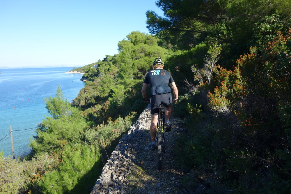

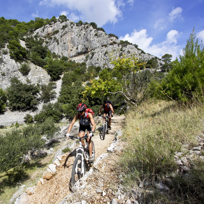
Staza nudi lijepi presjek otočkog pejzaža s panoramskim pogledima na otok i okolni arhipelag. Vozači će tijekom vožnje imati priliku posjetiti jedinstvene lokalitete među kojima i najviši otočki vrh Vidovu goru, te iskusiti vožnju kroz borovu šumu na platou iznad Bola.
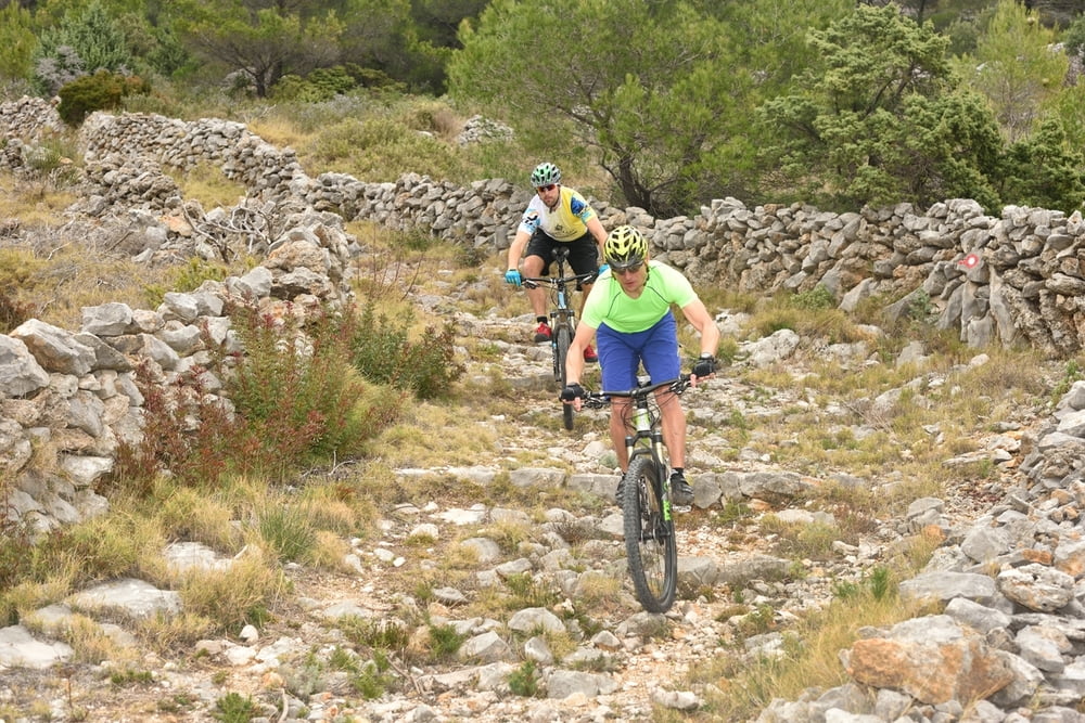
Staza ima klasifikaciju 3 tehničke zahtjevnosti i namijenjena je naprednim MTB vozačima. Za potpuni užitak na spustu poželjan je full suspension bicikl.
The trail offers a beautiful diversity of island's landscape with panoramic view on the island and surrounding archipelago. During the ride, MTB riders will have an opportunity to visit unique sites, among which is the highest island peak Vidova gora, and to experience the ride through a pine forest on a plateau above Bol town.
The trail is classified with mark 3 of technical difficulty, and it is intended for advanced MTB riders. For a full pleasure in downhill ride it is advisable to use a bicycle with full suspension
Tour gallery
Tour map and elevation profile
Minimum height -4 m
Maximum height 779 m
More about the tour author
|
|
AdriaBikeHotels |
Comments

GPS tracks
Trackpoints-
GPX / Garmin Map Source (gpx) download
-
TCX / Garmin Training Center® (tcx) download
-
CRS / Garmin Training Center® (crs) download
-
Google Earth (kml) download
-
G7ToWin (g7t) download
-
TTQV (trk) download
-
Overlay (ovl) download
-
Fugawi (txt) download
-
Kompass (DAV) Track (tk) download
-
Track data sheet (pdf) download
-
Original file of the author (gpx) download
More about the tour author
|
|
AdriaBikeHotels |
Add to my favorites
Remove from my favorites
Edit tags
Open track
My score
Rate