
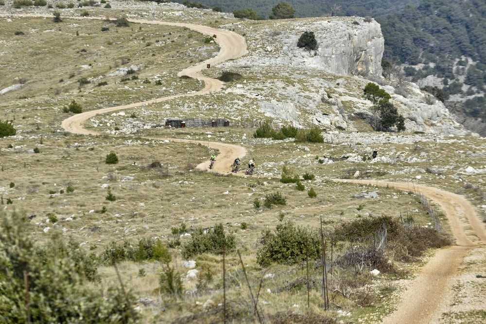

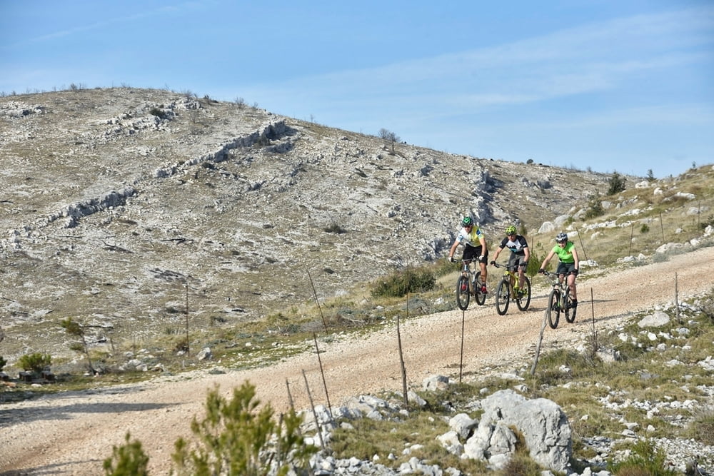
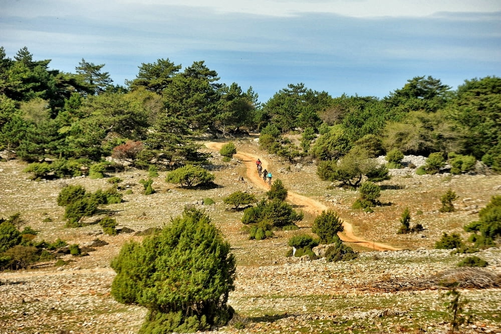
Ova tehnički i fizički nezahtjevna staza nudi pregled lokalnih puteva i kraću vožnju kroz borovu šumu na platou iznad Bola. Namijenjena je MTB i trekking vozačima koji su u zainteresirani za kraću vožnju. Staza je nezahtjevna i kao takva prilagođena je počet-nim rekreativcima ili obiteljskoj vožnji.
Napomena: Opcionalan je uspon na Vidovu Goru uz dodatnih 2 km blagog uspona u jednom smjeru. Ukoliko biste i nakon vožnje ponovno htjeli posjetiti VIdovu Goru, uspon je moguće realizirati i automobilom.
Start i cilj ove kružne staze nalazi se na cesti za Vidovu goru.
This technically and physically non demanding track offers an overview of local paths and a shorter ride through pine forest on a plateau over Bol town. It is intended for MTB and trekking riders who are interested in a shorter ride. It is a non demanding track and as such it is adjusted for recreational beginners or family rides.
Note: There is an additional option of climbing on Vidova gora mountain peak with another 2 kilometers of mild climbing in one direction. If you want to visit Vidova gora once again after the ride, you can also go there by car.
Tour gallery
Tour map and elevation profile
Minimum height 538 m
Maximum height 668 m
More about the tour author
|
|
AdriaBikeHotels |
Comments

GPS tracks
Trackpoints-
GPX / Garmin Map Source (gpx) download
-
TCX / Garmin Training Center® (tcx) download
-
CRS / Garmin Training Center® (crs) download
-
Google Earth (kml) download
-
G7ToWin (g7t) download
-
TTQV (trk) download
-
Overlay (ovl) download
-
Fugawi (txt) download
-
Kompass (DAV) Track (tk) download
-
Track data sheet (pdf) download
-
Original file of the author (gpx) download
More about the tour author
|
|
AdriaBikeHotels |
Add to my favorites
Remove from my favorites
Edit tags
Open track
My score
Rate