


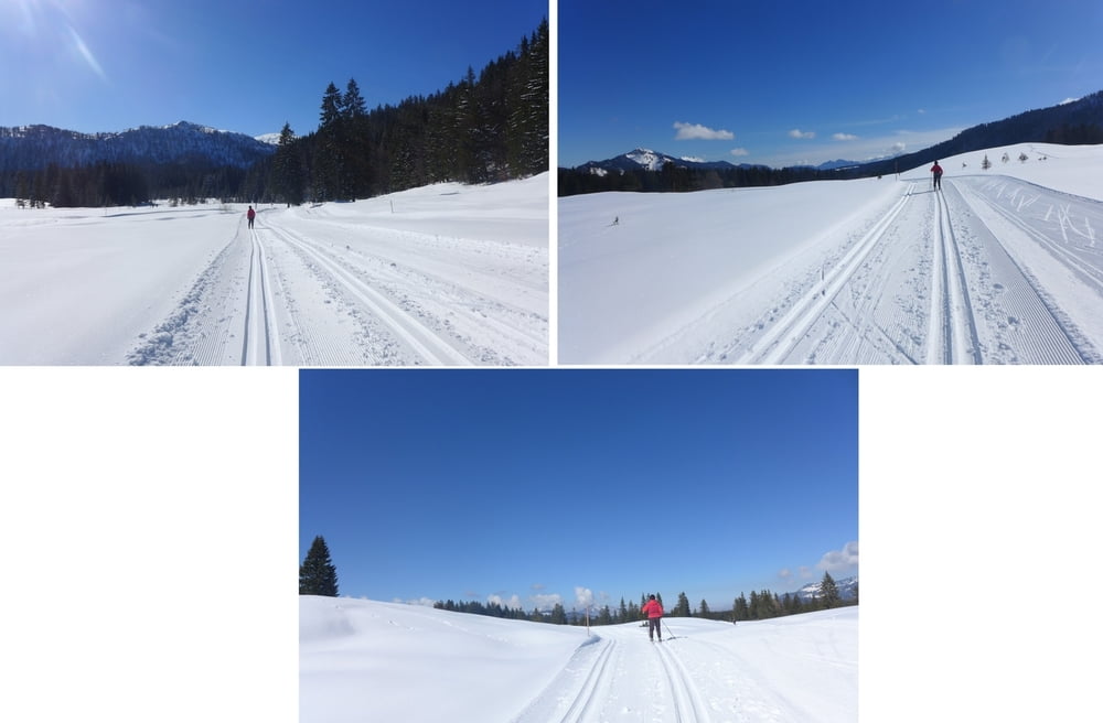
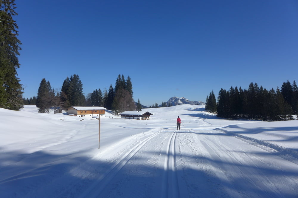
Die Loipen auf der Hemmersuppenalm sind im Spätwinter ein Traum. Freilich ist deren Länge begrenzt. Es kann folglich getrödelt werden. Schließlich geht es immer ein bisschen hoch oder runter. Start ist an der Hindenburghütte. Dort hinauf bzw. von dort hinab gelangt man von Reit im Winkl mit speziellen Kleinbussen (Mercedes Sprinter), welche von der Fa. Achleitner/Austria mit High End Allradtechnik ausgestattet worden, wodurch sie die Rodelbahn hinauf und hinab krabbeln können. Die Berg- oder Talfahrt kostete 2016 p.P. mit Gästekarte 5 Euro. Diese Fahrt ist aber schon ein Erlebnis für sich!
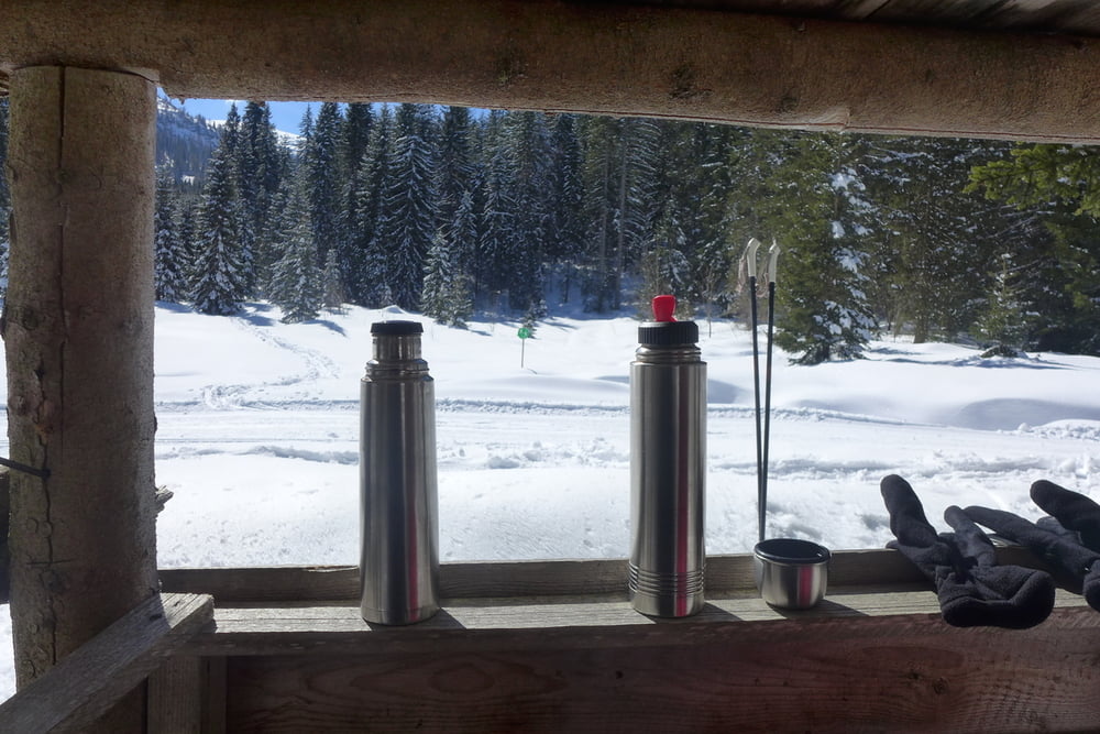
Rastplätze sind entlang des Premium-Winterwanderweges gar zahlreich. Entlang der Loipen sieht es eher mau aus. Man muss folglich flexibel sein!
Rastplätze sind entlang des Premium-Winterwanderweges gar zahlreich. Entlang der Loipen sieht es eher mau aus. Man muss folglich flexibel sein!
Further information at
http://www.reitimwinkl.de/Tour gallery
Tour map and elevation profile
Minimum height 1189 m
Maximum height 1262 m
More about the tour author
|
|
Saxoniaradler |
Comments

Reit im Winkel erreicht man aus dem Norden am bequemsten aus dem Norden über die B105 von der A8 (München – Salzburg). Camper müssten eh umsetzen.
GPS tracks
Trackpoints-
GPX / Garmin Map Source (gpx) download
-
TCX / Garmin Training Center® (tcx) download
-
CRS / Garmin Training Center® (crs) download
-
Google Earth (kml) download
-
G7ToWin (g7t) download
-
TTQV (trk) download
-
Overlay (ovl) download
-
Fugawi (txt) download
-
Kompass (DAV) Track (tk) download
-
Track data sheet (pdf) download
-
Original file of the author (gpx) download
More about the tour author
|
|
Saxoniaradler |
Add to my favorites
Remove from my favorites
Edit tags
Open track
My score
Rate