


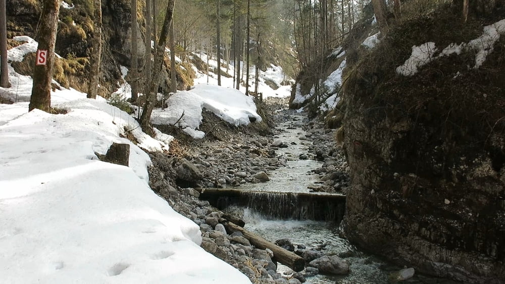
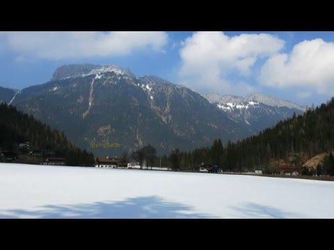
Wir werden von der Sonne begleitet. An den steilen Flanken der Schlucht liegt kaum noch Schnee in diesem schneearmen Winter; auf der Forststraße aber noch so hoch, dass das Laufen ohne Schneeschuhe sehr mühsam wäre!
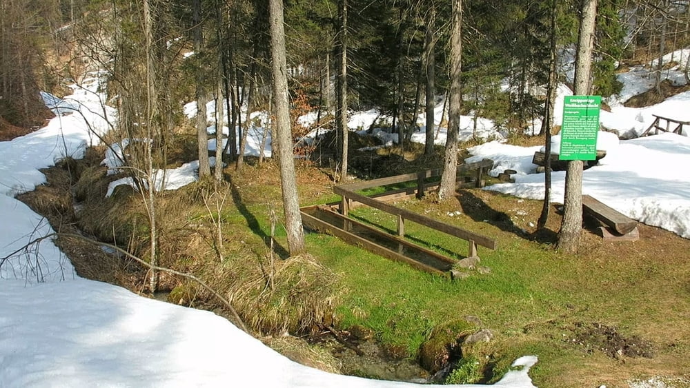
An einer Abzweigung nach der Kneipp- Anlage geht es in Tiefschnee aufwärts zur Abzweigung zu den Weißbach-Höfen, "Leitstallen". Dort kehren wir um und gehen auf gleichem Weg zurück; der Weg über die Weißbach- Höfe biedet sich nicht an, da er abwärts zur Schlucht teilweise schneefrei ist!
HINWEIS zum Video:
Mit Mozilla Firefox und Flash- Player Plugin startet das Video direkt.
Andernfalls verwendet ihr in eurem Browser den Link:
https://www.google.de/#q=rD9t060ViqE
Further information at
http://www.terrasound.deTour gallery
Tour map and elevation profile
Minimum height 832 m
Maximum height 1042 m
More about the tour author
|
|
heinz-57 |
Comments

Von Kitzbühel oder Lofer kommend in Waidring Richtung "Pillerseetal". Kurz nach Ortsende am Waldrand rechts gekennzeichneter Parkplatz.
GPS tracks
Trackpoints-
GPX / Garmin Map Source (gpx) download
-
TCX / Garmin Training Center® (tcx) download
-
CRS / Garmin Training Center® (crs) download
-
Google Earth (kml) download
-
G7ToWin (g7t) download
-
TTQV (trk) download
-
Overlay (ovl) download
-
Fugawi (txt) download
-
Kompass (DAV) Track (tk) download
-
Track data sheet (pdf) download
-
Original file of the author (gpx) download
More about the tour author
|
|
heinz-57 |
Add to my favorites
Remove from my favorites
Edit tags
Open track
My score
Rate