Login

Forgot your login?

Cookies have to be accepted!
Your browser's cookie functionality is disabled. Please enable this functionality.

Not a member yet?

Register now
Login

Available for registred users only

Log in to use this feature.

Forgot your login?

Cookies have to be accepted!
Your browser's cookie functionality is disabled. Please enable this functionality.

Not a member yet?

Register now
Filter
Categories
Advanced filters
  • Distance (km)
  • Height
Save filters Reset filter

TrackRank

QRCode

Technical data

Distance3,0 km Height27 m Way down20 m Duration01:09 h:m Date30.05.2016
Scores Author Landscape Fun factor Fitness Technique

Statistics

452 Views Scores 10 Downloads Average
Rate
  • Track data sheet
  • Directions
  • Downloads

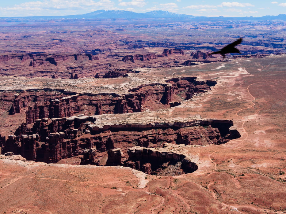
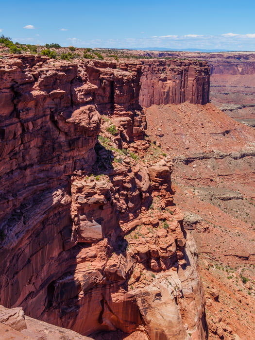
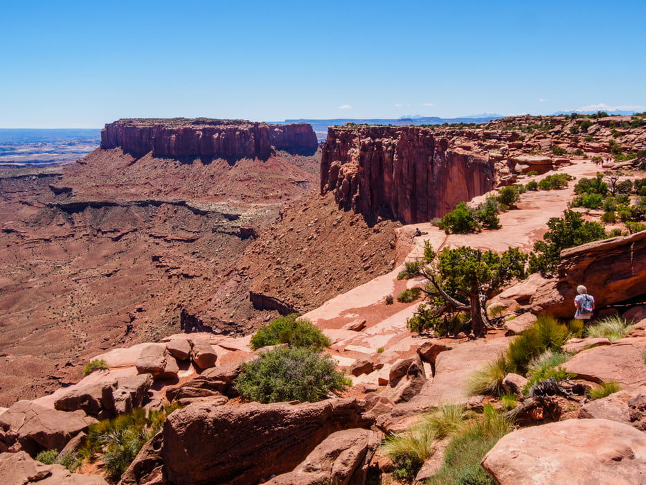
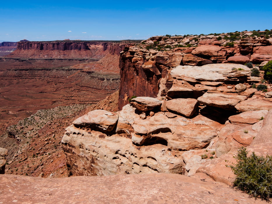
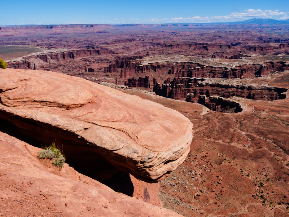
Easy walk along canyon edge to end of Island in the Sky mesa. Panoramic views.

Der Trail geht über Fels. Orientierung ab und zu nur durch Steinmänchen. Der Abstand des Pfads zur ca. 300 m hohen Abbruchkante ist immer reichlich.

Man kann natürlich den Abenteuerfaktor etwas erhöhen, in dem man direkt an der Kante entlangwandert ;-)

Tour gallery

Tour map and elevation profile

  • Open Street Map
  • Google
Minimum height 1876 m Maximum height 1896 m Detailed view

More about the tour author

ds5
Member since 2008

Send private message

Comments

Island in the Sky - 33 miles from Moab on UT 313

Entrance Fees: 25$ (oder anuall pass)

GPS tracks

Trackpoints
  • GPX / Garmin Map Source (gpx) download
  • TCX / Garmin Training Center® (tcx) download
  • CRS / Garmin Training Center® (crs) download
  • Google Earth (kml) download
  • G7ToWin (g7t) download
  • TTQV (trk) download
  • Overlay (ovl) download
  • Fugawi (txt) download
  • Kompass (DAV) Track (tk) download
  • Track data sheet (pdf) download
  • Original file of the author (gpx) download

More about the tour author

ds5
Member since 2008

Send private message
Share track
Add to my favorites
Remove from my favorites
Edit tags
My score
Rate
Track: 160511b USA Canyonlands NP - Island in the Sky - Grand View Point Trail
Type: Hiking
Distance: 3,0 km
Evaluated on:
Duration:
Day(s)
Hour(s)
Minute(s)
Score: Landscape Fun factor Fitness Technique